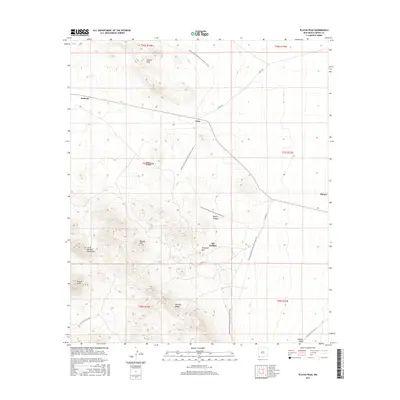
2017 Map of Playas Peak
USGS Topo · Published 2017About this map
Old Hachita sits at the eastern base of the Little Hatchet Mountains, a region defined by its complex mining and ranching history. The landscape is marked by prominent elevations like Turquoise Mtn and Playas Peak, while the Continental Divide National Scenic Trail winds through the canyons and ridges of the high desert. Settlement patterns are sparse, represented by locations such as Pothook and Vista, which speak to the area's role in the expansive cattle and mineral industries of southern New Mexico. This map also details the natural drainages of the Hachita Valley and the sharp relief of Howells Ridge. Significant landmarks for local history include Water Canyon and Beacon Hill, providing a look at the geographic features that shaped early routes through this territory.
Find a feature on this map
22 named features on this map. Tap any name to fly to it.
Don’t see what you’re looking for? This feature index may not catch every label — zoom into the map to look around manually.
Map Details
Editions of this 2017 Playas Peak Map
This is the sole edition of this map. No revisions or reprints were ever made.
Other maps of this area

1918 · Hachita
USGS Topo · 1:62,500

1918 · Playas
USGS Topo · 1:62,500

1919 · Playas
USGS Topo · 1:62,500

1954 · Silver City
USGS Topo · 1:250,000

1955 · Douglas
USGS Topo · 1:250,000

1958 · Silver City
USGS Topo · 1:250,000

1959 · Douglas
USGS Topo · 1:250,000

1961 · Douglas
USGS Topo · 1:250,000

1962 · Silver City
USGS Topo · 1:250,000

1964 · Douglas
USGS Topo · 1:250,000