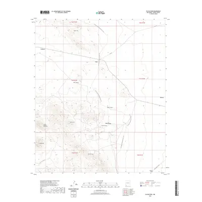
2020 Map of Playas Peak
USGS Topo · Published 2020About this map
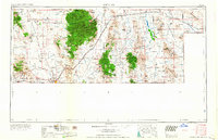
Old Hachita serves as a focal point in this high-desert landscape of southwestern New Mexico, where the peaks of the Little Hatchett Mountains rise above the Hachita Valley. This modern survey records a network of primitive tracks and remote outposts like Pothook, Vista, and Minero, reflecting the sparse human footprint in a region defined by its geology. The terrain is marked by significant elevations including Playas Peak, Turquoise Mtn, and Beacon Hill, while Howells Ridge and Baylor Canyon cut through the arid surface. Long-distance navigation is represented by the Continental Divide National Scenic Trail, which winds through the Coyote Hills and past Water Canyon, following the natural spine of the continent.
Find a feature on this map
22 named features on this map. Tap any name to fly to it.
Don’t see what you’re looking for? This feature index may not catch every label — zoom into the map to look around manually.
Map Details
Editions of this 2020 Playas Peak Map
This is the sole edition of this map. No revisions or reprints were ever made.
Other maps of this area
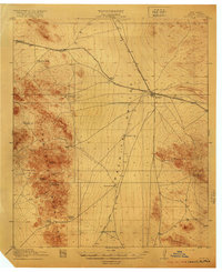
1918 · Hachita
USGS Topo · 1:62,500
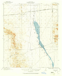
1918 · Playas
USGS Topo · 1:62,500
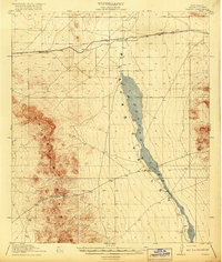
1919 · Playas
USGS Topo · 1:62,500

1954 · Silver City
USGS Topo · 1:250,000
1955 · Douglas
USGS Topo · 1:250,000

1958 · Silver City
USGS Topo · 1:250,000
1959 · Douglas
USGS Topo · 1:250,000
1961 · Douglas
USGS Topo · 1:250,000
1962 · Silver City
USGS Topo · 1:250,000
1964 · Douglas
USGS Topo · 1:250,000