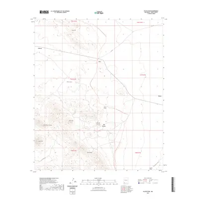
2023 Map of Playas Peak
USGS Topo · Published 2023About this map
Old Hachita sits at the base of Turquoise Mountain, anchoring a landscape defined by the prominent Little Hatchet Mountains. This southwestern New Mexico terrain is marked by the high point of Playas Peak and the geological complexity of Howells Ridge. The map details a region of dispersed settlements and isolated outposts such as Pothook, Vista, and Minero, which are connected by primitive routes like S Well Rd and the Little Hatchet Mts Rd.
Find a feature on this map
22 named features on this map. Tap any name to fly to it.
Don’t see what you’re looking for? This feature index may not catch every label — zoom into the map to look around manually.
Map Details
Editions of this 2023 Playas Peak Map
This is the sole edition of this map. No revisions or reprints were ever made.
Other maps of this area

1918 · Hachita
USGS Topo · 1:62,500

1918 · Playas
USGS Topo · 1:62,500

1919 · Playas
USGS Topo · 1:62,500

1954 · Silver City
USGS Topo · 1:250,000

1955 · Douglas
USGS Topo · 1:250,000

1958 · Silver City
USGS Topo · 1:250,000

1959 · Douglas
USGS Topo · 1:250,000

1961 · Douglas
USGS Topo · 1:250,000

1962 · Silver City
USGS Topo · 1:250,000

1964 · Douglas
USGS Topo · 1:250,000