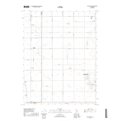
2018 Map of Pleasant Grove
USGS Topo · Published 2018About this map
Sacramento Valley farmland and expanding suburban footprints define this landscape along the border of Sutter and Placer Counties. The area is characterized by a network of drainage and irrigation features including King Slough, Sutter Ditch, and the winding Auburn Ravine. While the western portion of the map remains largely agricultural with small rural hubs like Pleasant Grove, Sankey, and Riego, the eastern edge shows the significant residential development of Roseville. Local transportation is anchored by a grid of named rural routes such as Pleasant Grove Rd and Sunset Blvd W, which connect isolated farmsteads to the growing urban centers. The presence of the Van Dyke Strip near the northern boundary and the low-lying reaches of the American Basin to the southwest illustrate the region's complex water management history in the heart of the Central Valley.
Find a feature on this map
52 named features on this map. Tap any name to fly to it.
Don’t see what you’re looking for? This feature index may not catch every label — zoom into the map to look around manually.
Map Details
Editions of this 2018 Pleasant Grove Map
This is the sole edition of this map. No revisions or reprints were ever made.
Other maps of this area

1891 · Sacramento
USGS Topo · 1:125,000

1892 · Sacramento
USGS Topo · 1:125,000

1893 · Sacramento
USGS Topo · 1:125,000

1902 · Fairoaks
USGS Topo · 1:62,500

1907 · Davisville
USGS Topo · 1:62,500

1910 · Sheridan
USGS Topo · 1:31,680

1910 · Lincoln
USGS Topo · 1:31,680

1910 · Roseville
USGS Topo · 1:31,680

1910 · Vernon
USGS Topo · 1:31,680

1910 · Nicolaus
USGS Topo · 1:31,680