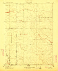
1910 Map of Pleasant Grove
USGS Topo · Published 1910About this map
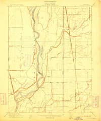
The settlement of Pleasant Grove anchors this topographic study along the flat agricultural borderlands of Placer and Sutter counties. Surveyed in cooperation with State of California officials including Governor J. N. Gillett, the landscape is defined by a series of southwest-flowing waterways, most notably Auburn Ravine, Pleasant Grove Creek, and Curry Creek. These drainage patterns reveal the subtle contours of the Central Valley before modern large-scale leveling and development altered the natural flow toward the Sacramento River basin.
Find a feature on this map
12 named features on this map. Tap any name to fly to it.
Don’t see what you’re looking for? This feature index may not catch every label — zoom into the map to look around manually.
Map Details
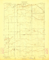
Editions of this 1910 Pleasant Grove Map
2 editions found

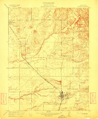
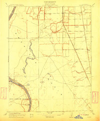
Other maps of this area

1891 · Sacramento
USGS Topo · 1:125,000

1892 · Sacramento
USGS Topo · 1:125,000

1893 · Sacramento
USGS Topo · 1:125,000

1902 · Fairoaks
USGS Topo · 1:62,500

1907 · Davisville
USGS Topo · 1:62,500
1910 · Sheridan
USGS Topo · 1:31,680
1910 · Lincoln
USGS Topo · 1:31,680

1910 · Roseville
USGS Topo · 1:31,680
1910 · Vernon
USGS Topo · 1:31,680
1910 · Nicolaus
USGS Topo · 1:31,680