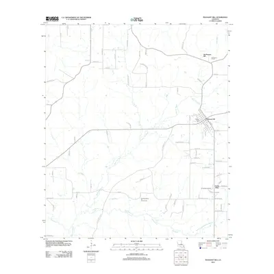
2012 Map of Pleasant Hill
USGS Topo · Published 2012About this map
Old Pleasant Hill and its modern counterpart form the heart of this Sabine Parish landscape, where historical settlement patterns meet contemporary energy extraction. The map reveals the shift from the original town site, marked by the Old Pleasant Hill Cem, to the current established center at Pleasant Hill. The local economy is deeply tied to the land, as evidenced by the San Miguel Bayou Oil and Gas Field and the Spring Ridge Gas Field that punctuate the rural terrain. The drainage network is dominated by the winding path of Bayou San Miguel, which is joined by various tributaries including Belle Bayou, Lost Bayou, and San Miguel Cr. Near the southern boundary, the settlement of Spring Ridge sits amongst a network of parish roads such as Old Pleasant Hill Rd and Parish Road 1067, illustrating the connection between isolated rural communities.
Find a feature on this map
72 named features on this map. Tap any name to fly to it.
Don’t see what you’re looking for? This feature index may not catch every label — zoom into the map to look around manually.
Map Details
Editions of this 2012 Pleasant Hill Map
This is the sole edition of this map. No revisions or reprints were ever made.
Other maps of this area

1938 · Chemard Lake
USGS Topo · 1:31,680

1938 · Hollis Creek
USGS Topo · 1:31,680

1941 · Zwolle
USGS Topo · 1:62,500

1941 · Pelican
USGS Topo · 1:62,500

1942 · Many
USGS Topo · 1:62,500

1943 · Many
USGS Topo · 1:62,500

1943 · Pleasant Hill
USGS Topo · 1:62,500

1944 · Zwolle
USGS Topo · 1:62,500

1944 · Pleasant Hill
USGS Topo · 1:62,500

1947 · Hanna
USGS Topo · 1:62,500