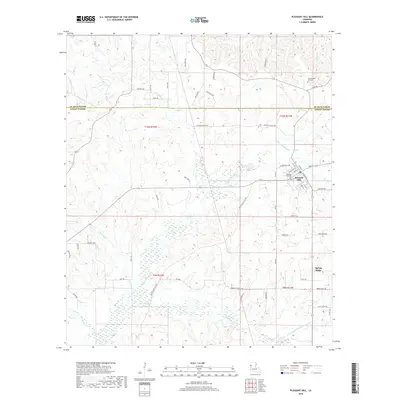
2018 Map of Pleasant Hill
USGS Topo · Published 2018About this map
Pleasant Hill serves as the primary hub of this Sabine Parish landscape, where the town grid is defined by streets like W Main St and Sabine St. The area's settlement history is anchored by the Pleasant Hill Cem and the Old Pleasant Hill Cem to the northeast, offering critical points for genealogical research. The terrain is defined by a dense network of waterways, including Bayou San Miguel, Belle Bayou, and Lost Bayou, which weave through the lowlands. The presence of Spring Ridge to the southeast and landmarks such as Antioch Church Rd suggest long-established rural community nodes. This map detail illustrates the transition from organized town life to the expansive riparian bottomlands and creek systems, including N Fork Little Bayou San Miguel and Horseshead Cr, that dominate the western portion of the quadrangle.
Find a feature on this map
62 named features on this map. Tap any name to fly to it.
Don’t see what you’re looking for? This feature index may not catch every label — zoom into the map to look around manually.
Map Details
Editions of this 2018 Pleasant Hill Map
This is the sole edition of this map. No revisions or reprints were ever made.
Other maps of this area

1938 · Chemard Lake
USGS Topo · 1:31,680

1938 · Hollis Creek
USGS Topo · 1:31,680

1941 · Zwolle
USGS Topo · 1:62,500

1941 · Pelican
USGS Topo · 1:62,500

1942 · Many
USGS Topo · 1:62,500

1943 · Many
USGS Topo · 1:62,500

1943 · Pleasant Hill
USGS Topo · 1:62,500

1944 · Zwolle
USGS Topo · 1:62,500

1944 · Pleasant Hill
USGS Topo · 1:62,500

1947 · Hanna
USGS Topo · 1:62,500