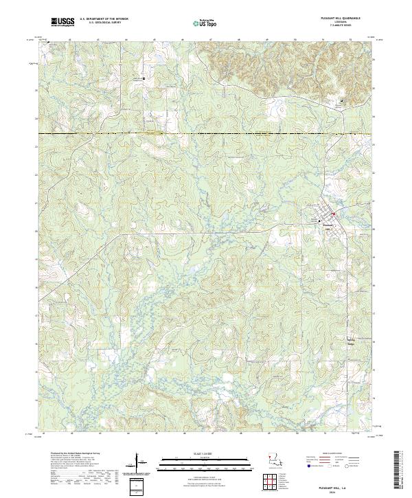
2024 Map of Pleasant Hill
USGS Topo · Published 2024About this map
Pleasant Hill serves as the primary hub in this portion of the Louisiana landscape, situated along the border of De Soto Parish and Sabine Parish. The settlement's residential grid is clearly defined by streets such as W Main St and Oak St, while the surrounding rural areas are marked by several significant burial grounds, including the Old Pleasant Hill Cem and New James Chapel Cem.
Find a feature on this map
64 named features on this map. Tap any name to fly to it.
Don’t see what you’re looking for? This feature index may not catch every label — zoom into the map to look around manually.
Map Details
Editions of this 2024 Pleasant Hill Map
This is the sole edition of this map. No revisions or reprints were ever made.
Other maps of this area

1938 · Chemard Lake
USGS Topo · 1:31,680

1938 · Hollis Creek
USGS Topo · 1:31,680

1941 · Zwolle
USGS Topo · 1:62,500

1941 · Pelican
USGS Topo · 1:62,500

1942 · Many
USGS Topo · 1:62,500

1943 · Many
USGS Topo · 1:62,500

1943 · Pleasant Hill
USGS Topo · 1:62,500

1944 · Zwolle
USGS Topo · 1:62,500

1944 · Pleasant Hill
USGS Topo · 1:62,500

1947 · Hanna
USGS Topo · 1:62,500