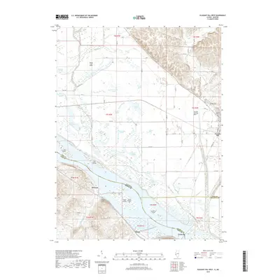
2018 Map of Pleasant Hill West
USGS Topo · Published 2018About this map
The Mississippi River carves a wide path through this borderland between Illinois and Missouri, defining a landscape of intricate waterways and fertile bottomlands. Along its banks, the secondary channel known as The Sny winds through a dense network of sloughs and lakes, including Ransom Slough, Towhead Lake, and Horseshoe Lake. These flood-prone plains are marked by numerous named islands such as Spring Lake Island, Crider Island, and Middleton Island, illustrating the dynamic nature of the river's course over time.
Find a feature on this map
89 named features on this map. Tap any name to fly to it.
Don’t see what you’re looking for? This feature index may not catch every label — zoom into the map to look around manually.
Map Details
Editions of this 2018 Pleasant Hill West Map
This is the sole edition of this map. No revisions or reprints were ever made.
Other maps of this area

1890 · Louisiana
USGS Topo · 1:125,000

1926 · Pittsfield
USGS Topo · 1:62,500

1930 · Nebo
USGS Topo · 1:62,500

1931 · Barry
USGS Topo · 1:62,500

1934 · Nebo
USGS Topo · 1:48,000

1936 · Barry
USGS Topo · 1:48,000

1937 · Bowling Green
USGS Topo · 1:62,500

1940 · Bowling Green
USGS Topo · 1:62,500

1942 · Nebo
USGS Topo · 1:62,500

1944 · Barry
USGS Topo · 1:62,500