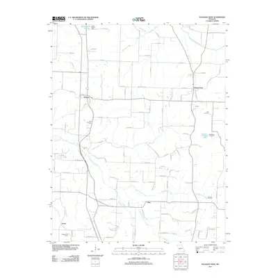
2011 Map of Pleasant Hope
USGS Topo · Published 2011About this map
Pleasant Hope and Brighton anchor this 2011 survey of southern Polk County, where the landscape is defined by the winding paths of the North Dry Sac River and the Pomme de Terre River. The terrain is marked by agricultural operations and small-scale water management, evidenced by the Ralph Brooks Reservoir and its associated Ralph Brooks Dam in the north, alongside the Chester Jenkins Lake and McNerney Lake Dam further east.
Find a feature on this map
62 named features on this map. Tap any name to fly to it.
Don’t see what you’re looking for? This feature index may not catch every label — zoom into the map to look around manually.
Map Details
Editions of this 2011 Pleasant Hope Map
This is the sole edition of this map. No revisions or reprints were ever made.
Other maps of this area

1884 · Springfield
USGS Topo · 1:125,000

1884 · Bolivar
USGS Topo · 1:125,000

1886 · Springfield
USGS Topo · 1:125,000

1892 · Bolivar
USGS Topo · 1:125,000

1946 · Bassville
USGS Topo · 1:24,000

1947 · Strafford
USGS Topo · 1:62,500

1948 · Bassville
USGS Topo · 1:24,000

1948 · Willard
USGS Topo · 1:24,000

1948 · Ebenezer
USGS Topo · 1:24,000

1948 · Strafford
USGS Topo · 1:62,500