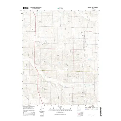
2015 Map of Pleasant Hope
USGS Topo · Published 2015About this map
Pleasant Hope and Brighton serve as the primary anchors of this southern Polk County landscape, which transitions across the Polk Co Greene Co line into the northern reaches of Greene County. The terrain is defined by the drainage systems of the Pomme de Terre River to the northeast and the N Dry Sac River in the south, with numerous smaller tributaries like Horse Cr and King Br carving the landscape. Small local impoundments such as Ralph Brooks Reservoir and Chester Jenkins Lake dot the area, providing water resources for the surrounding rural communities.
Find a feature on this map
94 named features on this map. Tap any name to fly to it.
Don’t see what you’re looking for? This feature index may not catch every label — zoom into the map to look around manually.
Map Details
Editions of this 2015 Pleasant Hope Map
This is the sole edition of this map. No revisions or reprints were ever made.
Other maps of this area

1884 · Springfield
USGS Topo · 1:125,000

1884 · Bolivar
USGS Topo · 1:125,000

1886 · Springfield
USGS Topo · 1:125,000

1892 · Bolivar
USGS Topo · 1:125,000

1946 · Bassville
USGS Topo · 1:24,000

1947 · Strafford
USGS Topo · 1:62,500

1948 · Bassville
USGS Topo · 1:24,000

1948 · Willard
USGS Topo · 1:24,000

1948 · Ebenezer
USGS Topo · 1:24,000

1948 · Strafford
USGS Topo · 1:62,500