Loading...
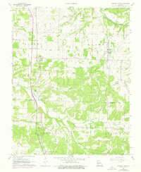
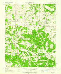
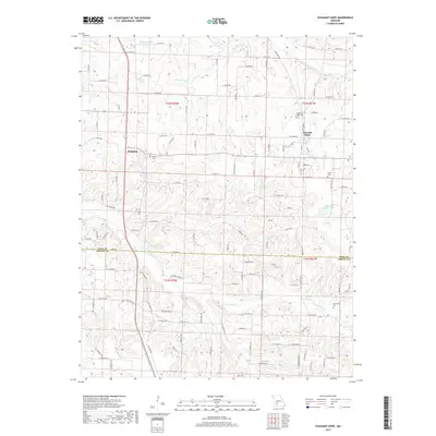
Loading map...1961 Map of Pleasant Hope
USGS Topo · Published 1976About this map
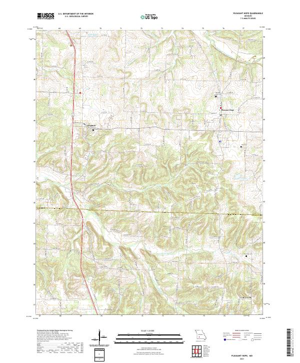
The Pomme De Terre River winds through the northern portion of this landscape, while the southern terrain is defined by the North Dry Sac River and its tributaries like King Branch and Sims Branch. The map centers on the community of Pleasant Hope and the settlement of Brighton to the west, showing a rural Missouri topography marked by a dense network of country churches and small family cemeteries.
Find a feature on this map
31 named features on this map. Tap any name to fly to it.
Don’t see what you’re looking for? This feature index may not catch every label — zoom into the map to look around manually.
Map Details
Date Portrayed1961
Date Published1976
PublisherU.S. Geological Survey
Map TypeTopographic
Scale1:24,000
Physical Dimensions21.9 x 26.7 inches
Editions of this 1961 Pleasant Hope Map
2 editions found
Historical Maps of Pleasant Hope Through Time
5 maps found
Featured Locations
Source Details
SourceU.S. Geological Survey
CopyrightPublic Domain