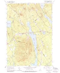
1963 Map of Pleasant Mtn
USGS Topo · Published 1988About this map
Pleasant Mountain dominates this mid-century landscape, bisecting the region between the Oxford and Cumberland County line. The terrain is characterized by high peaks and narrow valleys, where small settlements like West Bridgton and East Fryeburg anchor the local road network. The map reveals a deeply rooted rural community, evidenced by the high density of family and neighborhood burial grounds, including the McLucas Cem, Douglass Cem, and Ingalls Hill Cem.
Find a feature on this map
66 named features on this map. Tap any name to fly to it.
Don’t see what you’re looking for? This feature index may not catch every label — zoom into the map to look around manually.
Map Details
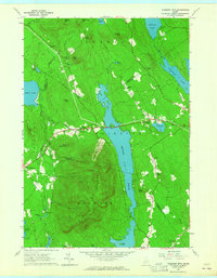
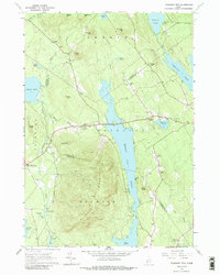
Editions of this 1963 Pleasant Mtn Map
3 editions found
Other maps of this area

1896 · Norway
USGS Topo · 1:62,500

1896 · Sebago
USGS Topo · 1:62,500

1909 · Fryeburg
USGS Topo · 1:62,500

1910 · Kezar Falls
USGS Topo · 1:48,000

1911 · Fryeburg
USGS Topo · 1:62,500

1911 · Kezar Falls
USGS Topo · 1:62,500

1941 · Fryeburg
USGS Topo · 1:62,500

1942 · Sebago Lake
USGS Topo · 1:62,500

1943 · Sebago Lake
USGS Topo · 1:62,500

1946 · Norway
USGS Topo · 1:62,500