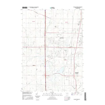
2016 Map of Pleasant Prairie
USGS Topo · Published 2016About this map
Kenosha and its southwestern expansion are the focal point of this 2016 survey, where the urban grid meets the agricultural landscape of Kenosha County. The industrial and transit identity of the region is evident in the sprawling Kenosha Regional Airport and the complex of major thoroughfares like 75th St and Lakeview Pkwy. The map documents a corridor of growth extending toward Pleasant Prairie and Truesdell, while the western edge near Bristol retains its rural character.
Find a feature on this map
36 named features on this map. Tap any name to fly to it.
Don’t see what you’re looking for? This feature index may not catch every label — zoom into the map to look around manually.
Map Details
Editions of this 2016 Pleasant Prairie Map
This is the sole edition of this map. No revisions or reprints were ever made.
Other maps of this area

1892 · Racine
USGS Topo · 1:62,500

1893 · Silver Lake
USGS Topo · 1:62,500

1905 · Racine
USGS Topo · 1:62,500

1906 · Silver Lake
USGS Topo · 1:62,500

1906 · Waukegan
USGS Topo · 1:62,500

1908 · Waukegan
USGS Topo · 1:62,500

1920 · Grays Lake
USGS Topo · 1:62,500

1923 · Grays Lake
USGS Topo · 1:62,500

1954 · Rockford
USGS Topo · 1:250,000

1955 · Rockford
USGS Topo · 1:250,000