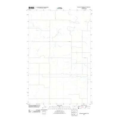
2011 Map of Pleasant Prairie NE
USGS Topo · Published 2011About this map
Eagle Creek and Wolf Creek define the drainage of this section of Roosevelt County, carving subtle paths across the high plains of Northeast Montana. This 2011 survey documents a sparsely populated rural landscape where the grid of sections is primarily marked by a handful of service roads like Navajo Rd and S Redstone. The orientation of these routes and the intermittent nature of the waterways suggest a landscape dedicated to large-scale agriculture or ranching. The presence of Eagle Creek Rd and Eagle Crk labels indicate the local importance of this watershed for navigation and land management in the Brockton District.
Find a feature on this map
6 named features on this map. Tap any name to fly to it.
Don’t see what you’re looking for? This feature index may not catch every label — zoom into the map to look around manually.
Map Details
Editions of this 2011 Pleasant Prairie NE Map
This is the sole edition of this map. No revisions or reprints were ever made.
Other maps of this area

1954 · Wolf Point
USGS Topo · 1:250,000

1958 · Wolf Point
USGS Topo · 1:250,000

1973 · Flaxville
USGS Topo · 1:24,000

1973 · Navajo
USGS Topo · 1:24,000

1973 · Pleasant Prairie
USGS Topo · 1:24,000

1973 · Pleasant Prairie NW
USGS Topo · 1:24,000

1973 · Pleasant Prairie SW
USGS Topo · 1:24,000

1973 · Pleasant Prairie NE
USGS Topo · 1:24,000

1983 · Redstone
USGS Topo · 1:24,000

1983 · Soo NW
USGS Topo · 1:24,000