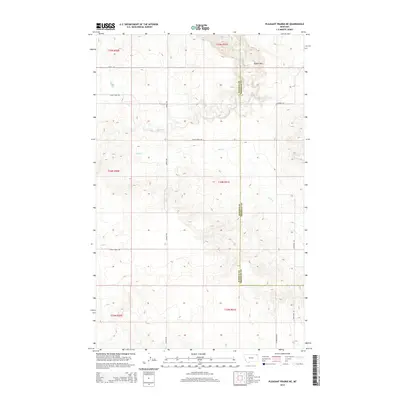
2014 Map of Pleasant Prairie NE
USGS Topo · Published 2014About this map
Eagles Nest rises as a prominent landmark in the high plains of Northeast Montana, marking the high ground of the Missouri Plateau near the edge of the Fort Peck Indian Reservation. This 2014 survey records a landscape shaped by intermittent watercourses like Eagle Cr and Wolf Cr, which carve shallow coulees through the prairie. The map details the rural section line road system that defines local navigation, including Kurtz Rd, Navajo Rd, and Eagle Creek Rd. Straddling the border of Daniels and Sheridan counties, the area remains dedicated to dryland ranching and grain farming, with the Public Land Survey System grid providing the primary structure for land ownership and agricultural development in this high-plains environment.
Find a feature on this map
17 named features on this map. Tap any name to fly to it.
Don’t see what you’re looking for? This feature index may not catch every label — zoom into the map to look around manually.
Map Details
Editions of this 2014 Pleasant Prairie NE Map
This is the sole edition of this map. No revisions or reprints were ever made.
Other maps of this area

1954 · Wolf Point
USGS Topo · 1:250,000

1958 · Wolf Point
USGS Topo · 1:250,000

1973 · Flaxville
USGS Topo · 1:24,000

1973 · Navajo
USGS Topo · 1:24,000

1973 · Pleasant Prairie
USGS Topo · 1:24,000

1973 · Pleasant Prairie NW
USGS Topo · 1:24,000

1973 · Pleasant Prairie SW
USGS Topo · 1:24,000

1973 · Pleasant Prairie NE
USGS Topo · 1:24,000

1983 · Redstone
USGS Topo · 1:24,000

1983 · Soo NW
USGS Topo · 1:24,000