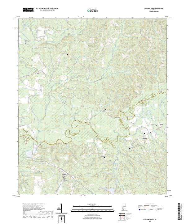
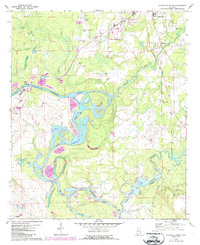
2024 Map of Pleasant Ridge
USGS Topo · Published 2024This historical map portrays the area of Pleasant Ridge in 2024, primarily covering Pickens County as well as portions of Greene County. Featuring a scale of 1:24000, this map provides a highly detailed snapshot of the terrain, roads, buildings, counties, and historical landmarks in the Pleasant Ridge region at the time. Published in 2024, it is the sole known edition of this map.
Map Details
Editions of this 2024 Pleasant Ridge Map
This is the sole edition of this map. No revisions or reprints were ever made.
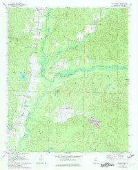
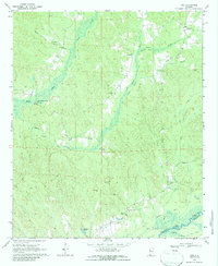
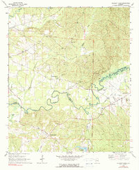
Historical Maps of Greene County Through Time
16 maps found
1966 Reform SW
Pickens County, AL
1967 Palmetto
Pickens County, AL
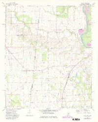
1970 Aliceville North
Pickens County, AL
1970 Aliceville South
Pickens County, AL
1970 Cunningham
Pickens County, AL
1970 Kirk
Pickens County, AL
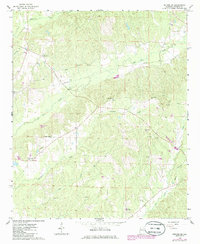
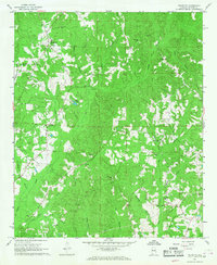
1970 Pleasant Ridge
Pickens County, AL
1974 Dancy
Pickens County, AL
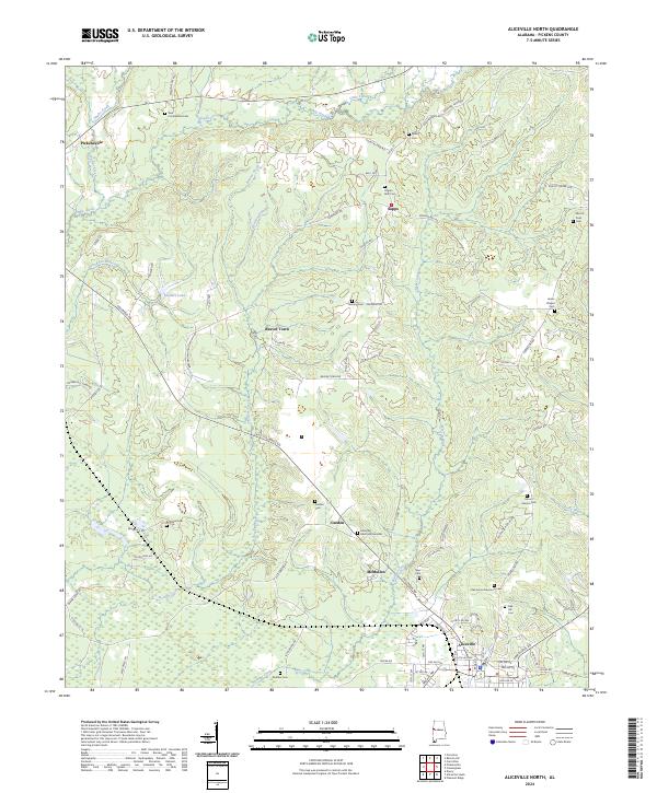
2024 Aliceville North
Pickens County, AL
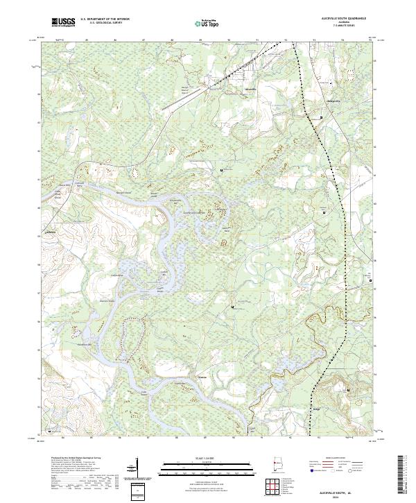
2024 Aliceville South
Pickens County, AL
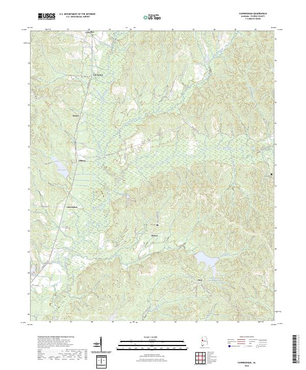
2024 Cunningham
Pickens County, AL
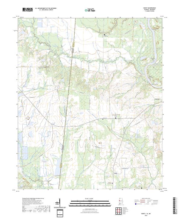
2024 Dancy
Pickens County, AL
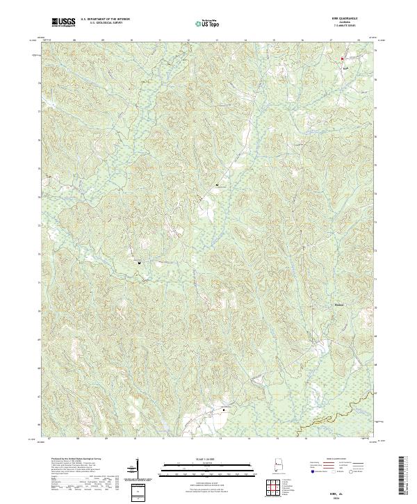
2024 Kirk
Pickens County, AL
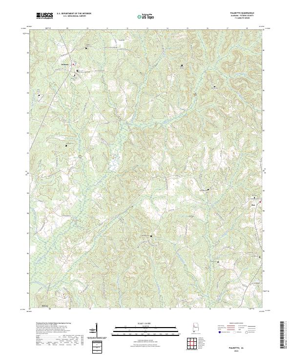
2024 Palmetto
Pickens County, AL
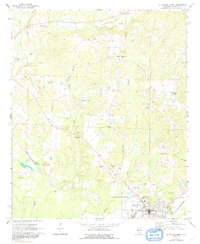
2024 Pleasant Ridge
Pickens County, AL
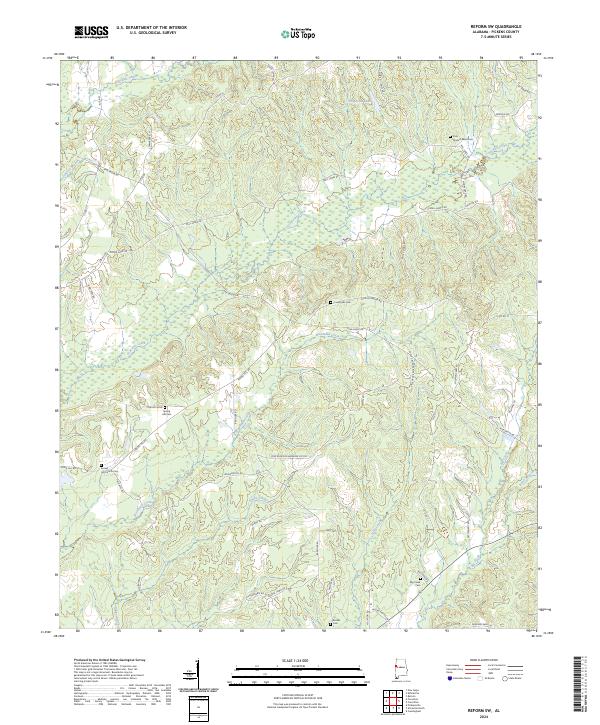
2024 Reform SW
Pickens County, AL