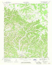
1968 Map of Pleasant Shade
USGS Topo · Published 1970About this map
The community of Pleasant Shade serves as a focal point in this 1960s landscape, where the border of Macon, Smith, and Trousdale counties meets amidst a complex system of ridges and hollows. The area is defined by a dense network of family-named cemeteries and rural landmarks, including the Upper Cumberland Cem, Butler Cem, and Jones Cem. Spiritual and social life is anchored by local congregations at Sycamore Valley Ch and Long Fork Ch, which are scattered throughout the winding drainage basins of Peyton Creek and Defeated Creek.
Find a feature on this map
65 named features on this map. Tap any name to fly to it.
Don’t see what you’re looking for? This feature index may not catch every label — zoom into the map to look around manually.
Map Details
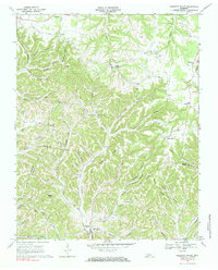
Editions of this 1968 Pleasant Shade Map
2 editions found
Other maps of this area

1931 · Lafayette
USGS Topo · 1:62,500

1931 · Red Boiling Springs
USGS Topo · 1:62,500

1932 · Carthage
USGS Topo · 1:62,500

1956 · Corbin
USGS Topo · 1:250,000

1956 · Nashville
USGS Topo · 1:250,000

1958 · Corbin
USGS Topo · 1:250,000

1958 · Dixon Springs
USGS Topo · 1:24,000
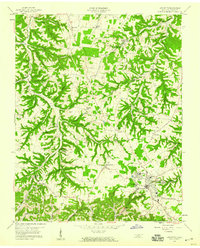
1958 · Lafayette
USGS Topo · 1:24,000

1959 · Nashville
USGS Topo · 1:250,000
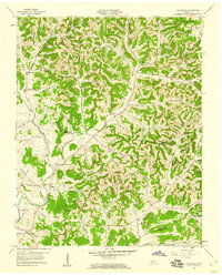
1959 · Hillsdale
USGS Topo · 1:24,000