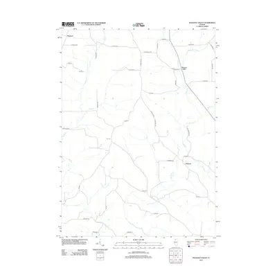
2012 Map of Pleasant Valley
USGS Topo · Published 2012About this map
The Plum River and its numerous tributaries, including the Muddy Plum River and E Plum River, carve through the rural landscape of Jo Daviess County. This 2012 survey illustrates a region defined by agricultural traditions and established small settlements like Massbach, Polsgrove, and the township center of Pleasant Valley. Historically significant transportation routes are evident, most notably the Old Galena Trl, which suggests the area's older connection to the regional mining and trade networks. Local genealogy and land use are anchored by sites such as the Zion Cem and named properties like Five Corner Farm. The map reveals a intricate network of secondary roads, such as Blue Mountain RD and S Streicher RD, that follow the natural topography established by drainage basins like Camp Cr and Scrub Cr.
Find a feature on this map
41 named features on this map. Tap any name to fly to it.
Don’t see what you’re looking for? This feature index may not catch every label — zoom into the map to look around manually.
Map Details
Editions of this 2012 Pleasant Valley Map
This is the sole edition of this map. No revisions or reprints were ever made.
Other maps of this area

1892 · Savanna
USGS Topo · 1:62,500

1911 · Elizabeth
USGS Topo · 1:62,500

1936 · Elizabeth
USGS Topo · 1:62,500

1937 · Lena
USGS Topo · 1:48,000

1942 · Mt Carroll
USGS Topo · 1:62,500

1942 · Lena
USGS Topo · 1:62,500

1943 · Lena
USGS Topo · 1:62,500

1944 · Mt Carroll
USGS Topo · 1:62,500

1952 · Savanna
USGS Topo · 1:62,500

1953 · Blackhawk
USGS Topo · 1:24,000