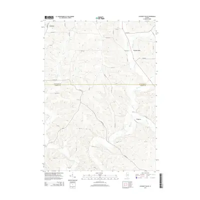
2015 Map of Pleasant Valley
USGS Topo · Published 2015About this map
The Plum River system carves through the driftless-like terrain of the Jo Daviess and Carroll County border, creating a complex network of valleys and ridges. Small rural hubs such as Pleasant Valley and Massbach anchor the landscape, connected by winding routes like the Old Galena Trl and Elizabeth Rd. The topography is particularly defined by the confluence of the Muddy Plum River and the main stem, where the land drops toward the county line. Cultural landmarks are sparse but significant for local history, including Zion Cem located on a high ridge overlooking the Camp Cr drainage. The map reveals a persistent rural character where agriculture and topography dictate the placement of roads such as S Streicher Rd and S Goodmiller Rd, which follow the contours of the deeply dissected landscape.
Find a feature on this map
43 named features on this map. Tap any name to fly to it.
Don’t see what you’re looking for? This feature index may not catch every label — zoom into the map to look around manually.
Map Details
Editions of this 2015 Pleasant Valley Map
This is the sole edition of this map. No revisions or reprints were ever made.
Other maps of this area

1892 · Savanna
USGS Topo · 1:62,500

1911 · Elizabeth
USGS Topo · 1:62,500

1936 · Elizabeth
USGS Topo · 1:62,500

1937 · Lena
USGS Topo · 1:48,000

1942 · Mt Carroll
USGS Topo · 1:62,500

1942 · Lena
USGS Topo · 1:62,500

1943 · Lena
USGS Topo · 1:62,500

1944 · Mt Carroll
USGS Topo · 1:62,500

1952 · Savanna
USGS Topo · 1:62,500

1953 · Blackhawk
USGS Topo · 1:24,000