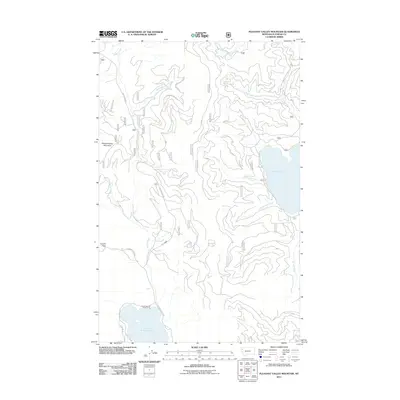
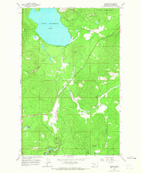
2011 Map of Pleasant Valley Mountain
USGS Topo · Published 2011About this map
Little Bitterroot Lake and Ashley Lake anchor the eastern and southern edges of this Montana survey, illustrating the complex drainage systems of the region. The landscape is defined by the high point of Pleasant Valley Mountain and the significant geographic notch of Haskill Pass, which serves as a natural corridor for travelers. The terrain is deeply incised by numerous waterways, including Griffin Creek, Herrig Creek, and McGovern Creek, which dictate the placement of local routes such as Griffin Creek Rd.
Find a feature on this map
21 named features on this map. Tap any name to fly to it.
Don’t see what you’re looking for? This feature index may not catch every label — zoom into the map to look around manually.
Map Details
Editions of this 2011 Pleasant Valley Mountain Map
This is the sole edition of this map. No revisions or reprints were ever made.
Other maps of this area

1957 · Kalispell
USGS Topo · 1:250,000

1960 · Kalispell
USGS Topo · 1:250,000

1961 · Kalispell
USGS Topo · 1:250,000

1962 · Lost Creek Divide
USGS Topo · 1:24,000

1962 · Ashley Mountain
USGS Topo · 1:24,000

1963 · Sylvia Lake
USGS Topo · 1:24,000
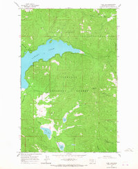
1964 · Lone Lake
USGS Topo · 1:24,000
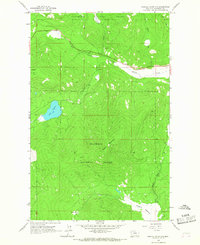
1964 · Haskill Mountain
USGS Topo · 1:24,000
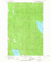
1964 · Pleasant Valley Mountain
USGS Topo · 1:24,000
1964 · Marion
USGS Topo · 1:24,000