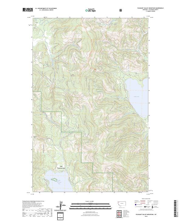
2024 Map of Pleasant Valley Mountain
USGS Topo · Published 2024About this map
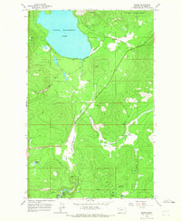
Flathead National Forest land dominates this high-country landscape, where the Salish Mountains meet the northern reaches of the Cabinet Mountains. The topography is defined by significant drainage systems including Griffin Creek and McGovern Creek, which carve through the timbered terrain. This 2024 survey documents the modern road network essential for forest management and local access, featuring the prominent Pleasant Valley Rd and numerous Forest Development Roads such as Natl Forest Develop Road 538 Rd.
Find a feature on this map
32 named features on this map. Tap any name to fly to it.
Don’t see what you’re looking for? This feature index may not catch every label — zoom into the map to look around manually.
Map Details
Editions of this 2024 Pleasant Valley Mountain Map
This is the sole edition of this map. No revisions or reprints were ever made.
Other maps of this area

1957 · Kalispell
USGS Topo · 1:250,000

1960 · Kalispell
USGS Topo · 1:250,000

1961 · Kalispell
USGS Topo · 1:250,000

1962 · Lost Creek Divide
USGS Topo · 1:24,000

1962 · Ashley Mountain
USGS Topo · 1:24,000

1963 · Sylvia Lake
USGS Topo · 1:24,000
1964 · Lone Lake
USGS Topo · 1:24,000
1964 · Haskill Mountain
USGS Topo · 1:24,000
1964 · Pleasant Valley Mountain
USGS Topo · 1:24,000
1964 · Marion
USGS Topo · 1:24,000