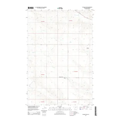
2014 Map of Pleasant View
USGS Topo · Published 2014About this map
Pleasant View sits as a central settlement in this eastern Montana landscape, serving as a focal point for the surrounding ranching and farming lands. The area is defined by its drainage systems, including the winding paths of Whoopup Cr and Sand Cr, which cut through the high plains and the broad expanse of Pleasant View Flat. Local history is anchored at the Pleasant View Cem, a key landmark for genealogical research located just off Road 244. Transportation across the northern sections is facilitated by Mt-200s, while a network of rural routes like CR-238 and Pleasant View Rd provide access to the various sections of the public land survey system, which remains the primary method of land division in Dawson County.
Find a feature on this map
20 named features on this map. Tap any name to fly to it.
Don’t see what you’re looking for? This feature index may not catch every label — zoom into the map to look around manually.
Map Details
Editions of this 2014 Pleasant View Map
This is the sole edition of this map. No revisions or reprints were ever made.
Other maps of this area

1909 · Glendive
USGS Topo · 1:250,000

1953 · Miles City
USGS Topo · 1:250,000

1954 · Glendive
USGS Topo · 1:250,000

1957 · Miles City
USGS Topo · 1:250,000

1957 · Glendive
USGS Topo · 1:250,000

1958 · Miles City
USGS Topo · 1:250,000

1958 · Glendive
USGS Topo · 1:250,000

1967 · Marsh
USGS Topo · 1:24,000

1967 · Hoyt
USGS Topo · 1:24,000
1967 · Forest Park
USGS Topo · 1:24,000