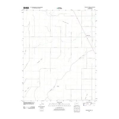
2010 Map of Pleasant View
USGS Topo · Published 2010About this map
Pleasant View serves as the primary hub of this high-plateau landscape in southwestern Colorado, situated at the intersection of several critical irrigation and transport routes. The region is defined by a deep network of drainage systems including Little Cahone Canyon, Sandstone Canyon, and the notable Hovenweep Canyon, which transition from the agricultural plains into more complex terrain. These natural features are countered by human engineering, most notably the South Canal and Dove Creek Canal, which illustrate the area's reliance on managed water systems for its upland farming community.
Find a feature on this map
28 named features on this map. Tap any name to fly to it.
Don’t see what you’re looking for? This feature index may not catch every label — zoom into the map to look around manually.
Map Details
Editions of this 2010 Pleasant View Map
This is the sole edition of this map. No revisions or reprints were ever made.
Other maps of this area

1956 · Cortez
USGS Topo · 1:250,000

1957 · Moqui NW
USGS Topo · 1:24,000

1957 · Cedar 3 NW
USGS Topo · 1:24,000

1957 · Cedar 3 SW
USGS Topo · 1:24,000

1958 · Cortez
USGS Topo · 1:250,000

1959 · Cortez
USGS Topo · 1:250,000

1962 · Cortez
USGS Topo · 1:250,000

1965 · Cahone
USGS Topo · 1:24,000

1965 · Woods Canyon
USGS Topo · 1:24,000

1965 · Yellow Jacket
USGS Topo · 1:24,000