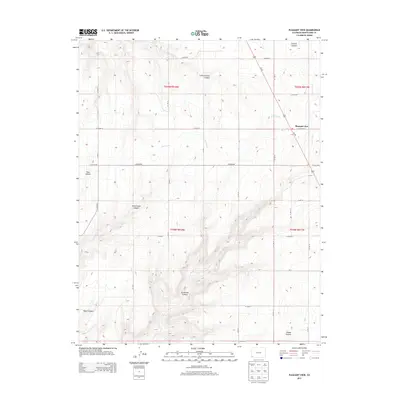
2013 Map of Pleasant View
USGS Topo · Published 2013About this map
Pleasant View stands as a focal point in this portion of Montezuma County, situated at the intersection of Us-491 and Co Road CC. The landscape is defined by a series of dramatic drainages that cut through the high plateau, including Hovenweep Canyon, Sandstone Canyon, and Ruin Canyon. These natural features suggest a terrain historically shaped by deep water-cut reliefs, contrasting with the organized grid of county roads like Co Road BB and Co Road Z that facilitate modern agricultural and residential access.
Find a feature on this map
33 named features on this map. Tap any name to fly to it.
Don’t see what you’re looking for? This feature index may not catch every label — zoom into the map to look around manually.
Map Details
Editions of this 2013 Pleasant View Map
This is the sole edition of this map. No revisions or reprints were ever made.
Other maps of this area

1956 · Cortez
USGS Topo · 1:250,000

1957 · Moqui NW
USGS Topo · 1:24,000

1957 · Cedar 3 NW
USGS Topo · 1:24,000

1957 · Cedar 3 SW
USGS Topo · 1:24,000

1958 · Cortez
USGS Topo · 1:250,000

1959 · Cortez
USGS Topo · 1:250,000

1962 · Cortez
USGS Topo · 1:250,000

1965 · Cahone
USGS Topo · 1:24,000

1965 · Woods Canyon
USGS Topo · 1:24,000

1965 · Yellow Jacket
USGS Topo · 1:24,000