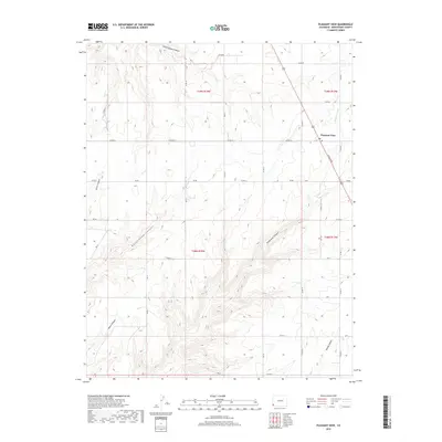
2019 Map of Pleasant View
USGS Topo · Published 2019About this map
Pleasant View sits at the high point of a plateau cut by deep drainage systems in this 2019 survey of Montezuma County. The settlement, anchored by its Po and the corridor of N Broadway, serves as a gateway to the complex network of canyons that define the local geography. To the west and south, the terrain falls away into the steep-walled Hovenweep Canyon, Ruin Canyon, and Sandstone Canyon, names that evoke the region’s rich archaeological heritage. The map documents the vital water infrastructure of the area, showing the courses of the S Canal and Dove Cr Canal as they navigate the ridges above Negro Canyon and Little Cahone Canyon. These irrigation systems allow for agriculture in an otherwise arid landscape, while a dense grid of county roads, such as Co RD Ee and Co RD 16, provides access to the scattered homesteads and townships of the plateau.
Find a feature on this map
44 named features on this map. Tap any name to fly to it.
Don’t see what you’re looking for? This feature index may not catch every label — zoom into the map to look around manually.
Map Details
Editions of this 2019 Pleasant View Map
This is the sole edition of this map. No revisions or reprints were ever made.
Other maps of this area

1956 · Cortez
USGS Topo · 1:250,000

1957 · Moqui NW
USGS Topo · 1:24,000

1957 · Cedar 3 NW
USGS Topo · 1:24,000

1957 · Cedar 3 SW
USGS Topo · 1:24,000

1958 · Cortez
USGS Topo · 1:250,000

1959 · Cortez
USGS Topo · 1:250,000

1962 · Cortez
USGS Topo · 1:250,000

1965 · Cahone
USGS Topo · 1:24,000

1965 · Woods Canyon
USGS Topo · 1:24,000

1965 · Yellow Jacket
USGS Topo · 1:24,000