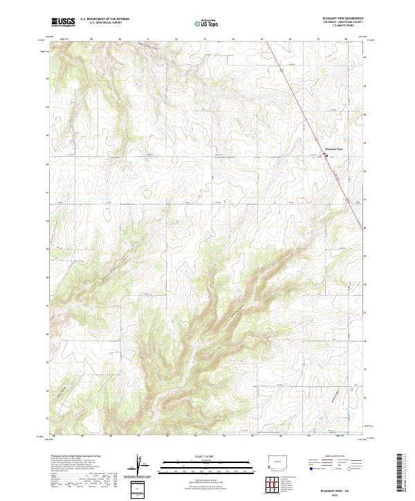
2022 Map of Pleasant View
USGS Topo · Published 2022About this map
Pleasant View serves as the primary settlement in this corner of Montezuma County, where the high desert plateau is deeply incised by a network of drainage systems. The landscape is defined by its dramatic relief, notably where the land falls away into Hovenweep Canyon, Sandstone Canyon, and Ruin Canyon. These natural features, along with Woods Canyon and Negro Canyon, create a rugged topography that dictates the placement of roads and human infrastructure. Agricultural development is evident through water management features such as the Dove Cr Canal and S Canal, which support the local farming economy. A dense grid of county roads, including Co RD Ee and Co RD 16, connects the dispersed homesteads and farms back to the central hub at the Po and the intersection of N Broadway.
Find a feature on this map
40 named features on this map. Tap any name to fly to it.
Don’t see what you’re looking for? This feature index may not catch every label — zoom into the map to look around manually.
Map Details
Editions of this 2022 Pleasant View Map
This is the sole edition of this map. No revisions or reprints were ever made.
Other maps of this area

1956 · Cortez
USGS Topo · 1:250,000

1957 · Moqui NW
USGS Topo · 1:24,000

1957 · Cedar 3 NW
USGS Topo · 1:24,000

1957 · Cedar 3 SW
USGS Topo · 1:24,000

1958 · Cortez
USGS Topo · 1:250,000

1959 · Cortez
USGS Topo · 1:250,000

1962 · Cortez
USGS Topo · 1:250,000

1965 · Cahone
USGS Topo · 1:24,000

1965 · Woods Canyon
USGS Topo · 1:24,000

1965 · Yellow Jacket
USGS Topo · 1:24,000