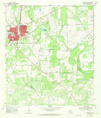
1968 Map of Pleasanton
USGS Topo · Published 1971About this map
The Atascosa River flows through a landscape defined by ranching, rail transport, and early petroleum extraction in the late 1960s. Pleasanton serves as the primary hub, showing significant municipal development including a Hosp, Jr High Sch, and various Sub Stations to support the growing community. The Missouri Pacific railroad cuts a straight line through the territory, passing smaller named settlements such as Coughran and Georgetown.
Find a feature on this map
33 named features on this map. Tap any name to fly to it.
Don’t see what you’re looking for? This feature index may not catch every label — zoom into the map to look around manually.
Map Details
Editions of this 1968 Pleasanton Map
2 editions found
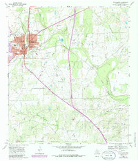
Other maps of this area

1953 · Crystal City
USGS Topo · 1:250,000

1954 · San Antonio
USGS Topo · 1:250,000

1955 · Crystal City
USGS Topo · 1:250,000

1956 · Pleasanton
USGS Topo · 1:62,500

1956 · Jourdanton
USGS Topo · 1:62,500

1957 · San Antonio
USGS Topo · 1:250,000

1961 · Crystal City
USGS Topo · 1:250,000
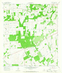
1964 · Saspamco SE
USGS Topo · 1:24,000

1964 · Leming
USGS Topo · 1:24,000

1968 · Crystal City
USGS Topo · 1:250,000