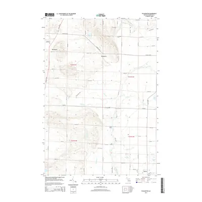
2014 Map of Pleasanton
USGS Topo · Published 2014About this map
Pleasanton and the surrounding township appear as a patchwork of northern Michigan woodlands and agricultural parcels in this 2014 survey. The landscape is defined by its glacial hydrology, with Glovers Lake in the north and Healy Lake to the east, while the Betsie River cuts through the northeast corner. The rural character of the area is emphasized by the presence of small local landmarks like Bonds Bridge and Jopp Bridge crossing the various creeks. Genealogists and local historians can trace legacy sites such as the Pleasanton Township Cem and Springdale Cem. The southern edge of the sheet includes the outskirts of Kaleva, showing the transition from the upland terrain of Duanes Honey Hole down toward the wetlands surrounding Mud Lake and Makinen Pond.
Find a feature on this map
66 named features on this map. Tap any name to fly to it.
Don’t see what you’re looking for? This feature index may not catch every label — zoom into the map to look around manually.
Map Details
Editions of this 2014 Pleasanton Map
This is the sole edition of this map. No revisions or reprints were ever made.
Other maps of this area

1954 · Traverse City
USGS Topo · 1:250,000

1954 · Manitowoc
USGS Topo · 1:250,000

1956 · Onekama
USGS Topo · 1:62,500

1956 · Thompsonville
USGS Topo · 1:62,500

1956 · Frankfort
USGS Topo · 1:62,500

1957 · Copemish
USGS Topo · 1:62,500

1958 · Traverse City
USGS Topo · 1:250,000

1958 · Manitowoc
USGS Topo · 1:250,000

1976 · Frankfort SE
USGS Topo · 1:24,000

1976 · Onekama SE
USGS Topo · 1:24,000