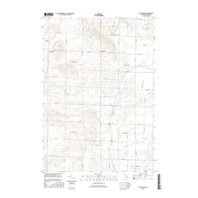
2017 Map of Pleasanton
USGS Topo · Published 2017About this map
The Betsie River snakes across the northern reaches of this Manistee County landscape, while the southern terrain is defined by the wetlands and tributaries feeding Beaver Cr and Halls Cr. The village of Kaleva occupies the southeastern corner, showing its street grid just north of Makinen Pond. To the northwest, the settlement of Pleasanton and the Pleasanton Township Cem reflect the area's agricultural and rural roots.
Find a feature on this map
68 named features on this map. Tap any name to fly to it.
Don’t see what you’re looking for? This feature index may not catch every label — zoom into the map to look around manually.
Map Details
Editions of this 2017 Pleasanton Map
This is the sole edition of this map. No revisions or reprints were ever made.
Other maps of this area

1954 · Traverse City
USGS Topo · 1:250,000

1954 · Manitowoc
USGS Topo · 1:250,000

1956 · Onekama
USGS Topo · 1:62,500

1956 · Thompsonville
USGS Topo · 1:62,500

1956 · Frankfort
USGS Topo · 1:62,500

1957 · Copemish
USGS Topo · 1:62,500

1958 · Traverse City
USGS Topo · 1:250,000

1958 · Manitowoc
USGS Topo · 1:250,000

1976 · Frankfort SE
USGS Topo · 1:24,000

1976 · Onekama SE
USGS Topo · 1:24,000