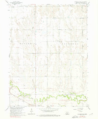
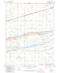
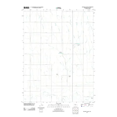
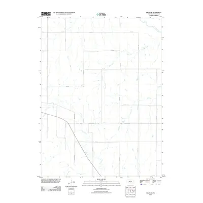
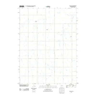
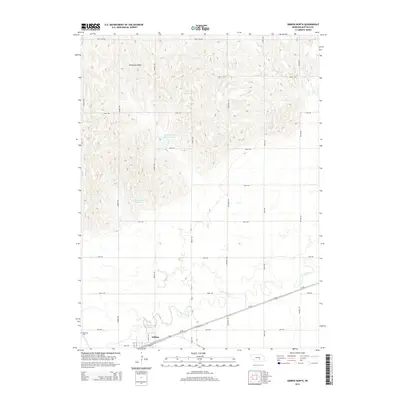
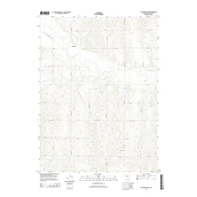
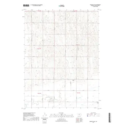
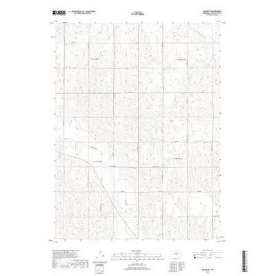
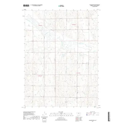
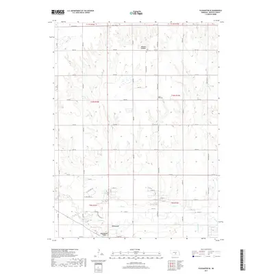
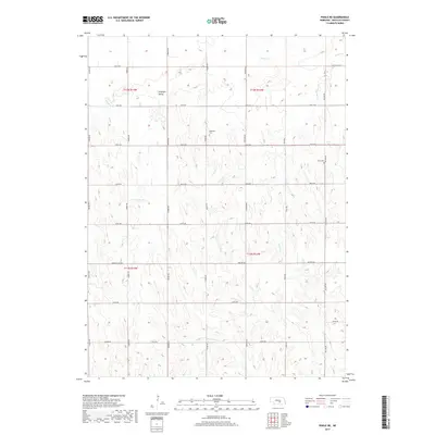
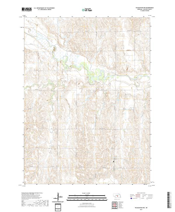
1962 Map of Pleasanton SE
USGS Topo · Published 1976About this map
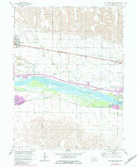
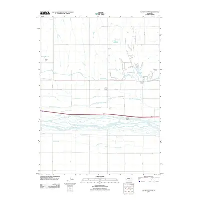
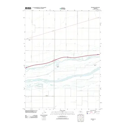
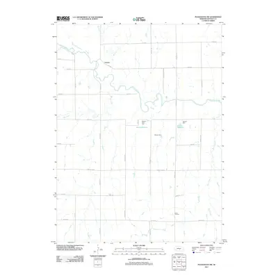
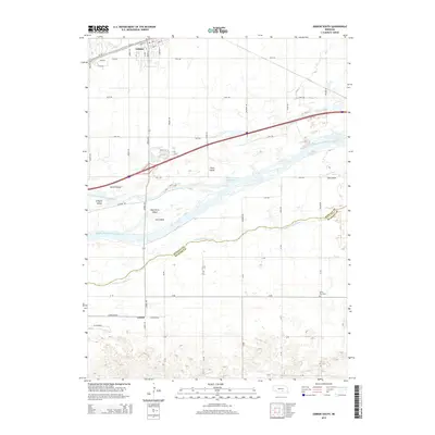
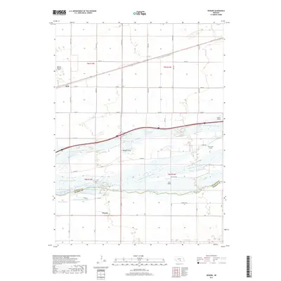
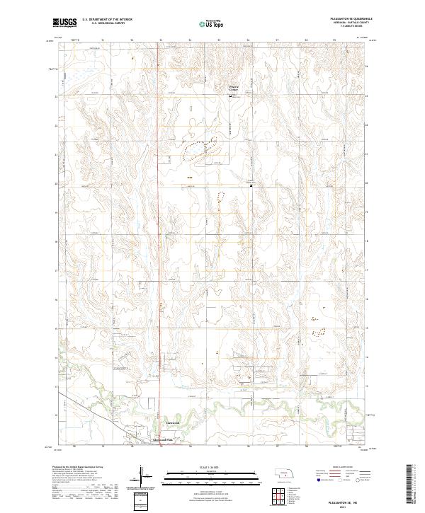
The Wood River meanders across the southern plains of Buffalo County, defining the agricultural landscape in this early 1960s survey. This portion of the Missouri River Basin development area is characterized by a dense network of one-room schoolhouses, including School No 26, School No 46, and School No 88, which served the scattered farming communities of Prairie Center and Glenwood Park. The terrain shifts from the irrigated lowlands of the river valley to the higher elevations of Divide and Thornton.
Find a feature on this map
25 named features on this map. Tap any name to fly to it.
Don’t see what you’re looking for? This feature index may not catch every label — zoom into the map to look around manually.
Map Details
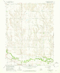
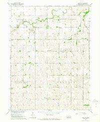
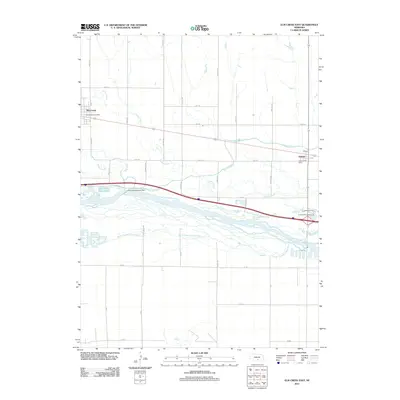
Editions of this 1962 Pleasanton SE Map
2 editions found
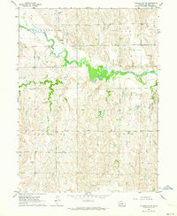
Historical Maps of Glenwood Park Through Time
50 maps found
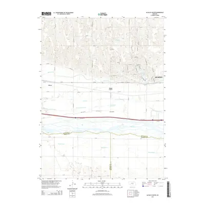
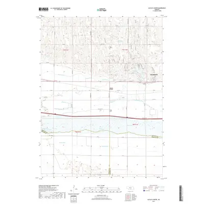
1962 Alfalfa Center
Buffalo County, NE
1962 Buckeye Valley
Buffalo County, NE
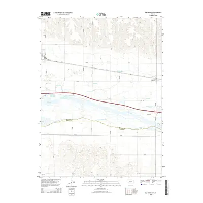
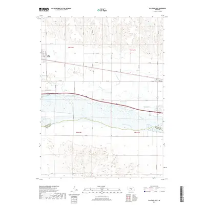
1962 Elm Creek East
Buffalo County, NE
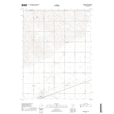
1962 Gibbon North
Buffalo County, NE
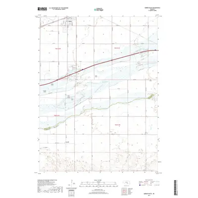
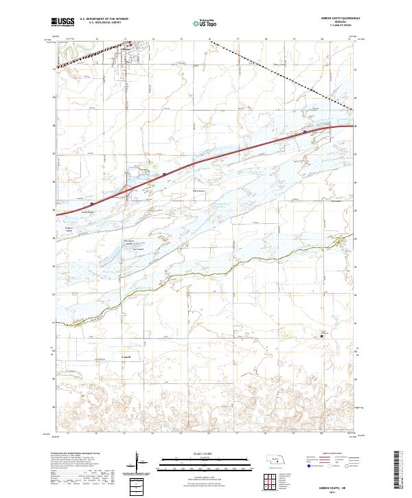
1962 Gibbon South
Buffalo County, NE
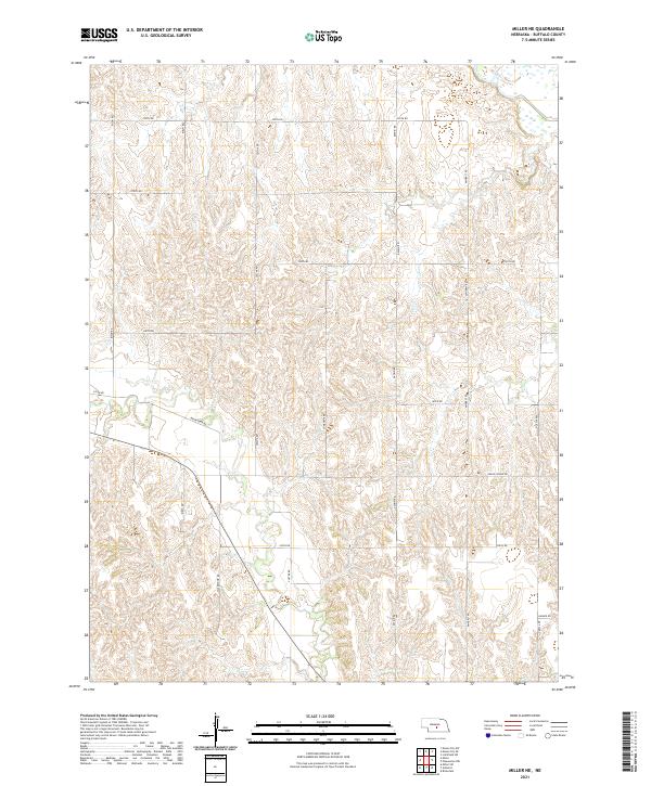
1962 Miller NE
Buffalo County, NE
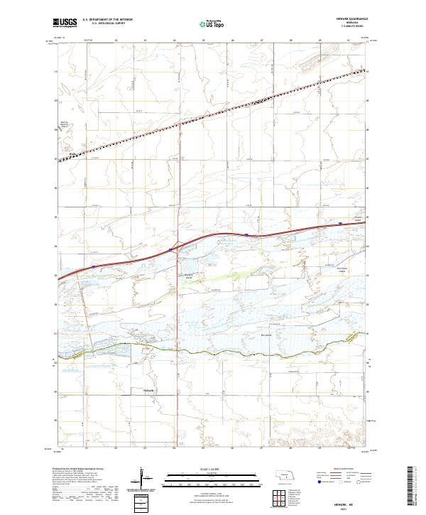
1962 Newark
Buffalo County, NE
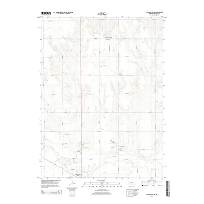
1962 Pleasanton NW
Buffalo County, NE
1962 Pleasanton SE
Buffalo County, NE
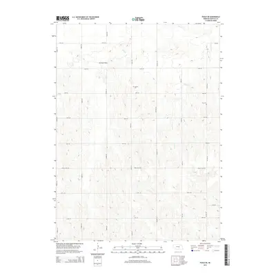
1962 Poole NE
Buffalo County, NE
2011 Alfalfa Center
Buffalo County, NE
2011 Buckeye Valley
Buffalo County, NE
2011 Elm Creek East
Buffalo County, NE
2011 Gibbon North
Buffalo County, NE
2011 Gibbon South
Buffalo County, NE
2011 Miller NE
Buffalo County, NE
2011 Newark
Buffalo County, NE
2011 Pleasanton NW
Buffalo County, NE
2011 Pleasanton SE
Buffalo County, NE
2011 Poole NE
Buffalo County, NE
2014 Alfalfa Center
Buffalo County, NE
2014 Buckeye Valley
Buffalo County, NE
2014 Elm Creek East
Buffalo County, NE
2014 Gibbon North
Buffalo County, NE
2014 Gibbon South
Buffalo County, NE
2014 Miller NE
Buffalo County, NE
2014 Newark
Buffalo County, NE
2014 Pleasanton NW
Buffalo County, NE
2014 Pleasanton SE
Buffalo County, NE
2014 Poole NE
Buffalo County, NE
2017 Alfalfa Center
Buffalo County, NE
2017 Buckeye Valley
Buffalo County, NE
2017 Elm Creek East
Buffalo County, NE
2017 Gibbon North
Buffalo County, NE
2017 Gibbon South
Buffalo County, NE
2017 Miller NE
Buffalo County, NE
2017 Newark
Buffalo County, NE
2017 Pleasanton NW
Buffalo County, NE
2017 Pleasanton SE
Buffalo County, NE
2017 Poole NE
Buffalo County, NE
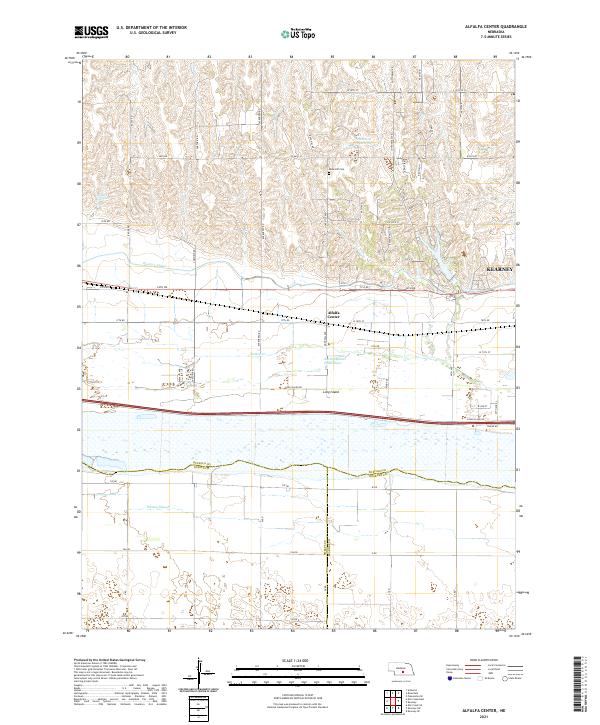
2021 Alfalfa Center
Buffalo County, NE
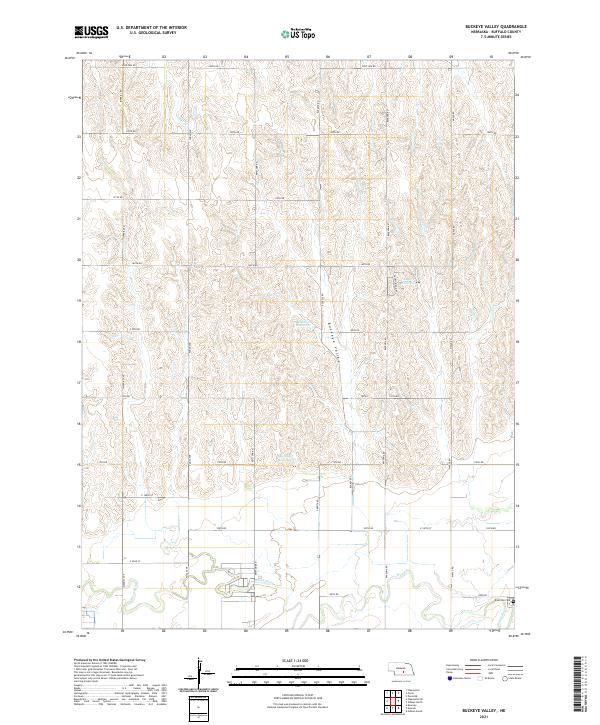
2021 Buckeye Valley
Buffalo County, NE
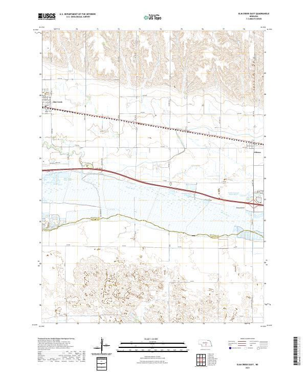
2021 Elm Creek East
Buffalo County, NE

2021 Gibbon North
Buffalo County, NE
2021 Gibbon South
Buffalo County, NE
2021 Miller NE
Buffalo County, NE
2021 Newark
Buffalo County, NE
2021 Pleasanton NW
Buffalo County, NE
2021 Pleasanton SE
Buffalo County, NE
2021 Poole NE
Buffalo County, NE