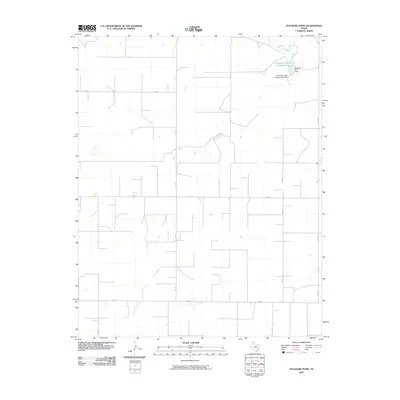
2010 Map of Pleasure Pond
USGS Topo · Published 2010About this map
Coldwater Creek winds through the northeast corner of this Panhandle landscape, where water management is central to the local cattle industry. The map highlights the Coldwater Cattle Company Lake and its associated Coldwater Cattle Company Lake Dam, illustrating the specialized infrastructure required for ranching in this arid environment. Beyond these water features, the area is defined by a strict section-line road network, including Fm 119 and Fm 1573, which segment the vast agricultural fields. Small landmarks like Pleasure Pond Dam provide further evidence of local efforts to capture and control surface water across the plains of Sherman County.
Find a feature on this map
12 named features on this map. Tap any name to fly to it.
Don’t see what you’re looking for? This feature index may not catch every label — zoom into the map to look around manually.
Map Details
Editions of this 2010 Pleasure Pond Map
This is the sole edition of this map. No revisions or reprints were ever made.
Other maps of this area

1954 · Perryton
USGS Topo · 1:250,000

1958 · Perryton
USGS Topo · 1:250,000

1963 · Cactus East
USGS Topo · 1:24,000

1964 · Stevens SW
USGS Topo · 1:24,000

1965 · Spurlock Chapel
USGS Topo · 1:24,000

1972 · Capps Switch
USGS Topo · 1:24,000

1972 · Sunray
USGS Topo · 1:24,000

1974 · Stevens SE
USGS Topo · 1:24,000

1974 · Sunray 1 SW
USGS Topo · 1:24,000

1974 · Capps Switch NW
USGS Topo · 1:24,000