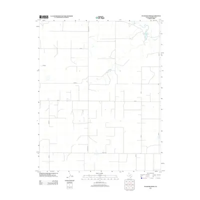
2012 Map of Pleasure Pond
USGS Topo · Published 2012About this map
Coldwater Cr winds through this section of the Texas Panhandle, feeding the Coldwater Cattle Company Lake in the northeastern corner of the landscape. The area is defined by a rigid grid of rural transport, where cattle ranching and agricultural interests are supported by an extensive network of county and state-maintained roads. Large-scale ranching operations are evidenced by the naming of significant water features after local cattle concerns, reflecting the economic backbone of Sherman County.
Find a feature on this map
11 named features on this map. Tap any name to fly to it.
Don’t see what you’re looking for? This feature index may not catch every label — zoom into the map to look around manually.
Map Details
Editions of this 2012 Pleasure Pond Map
This is the sole edition of this map. No revisions or reprints were ever made.
Other maps of this area

1954 · Perryton
USGS Topo · 1:250,000

1958 · Perryton
USGS Topo · 1:250,000

1963 · Cactus East
USGS Topo · 1:24,000

1964 · Stevens SW
USGS Topo · 1:24,000

1965 · Spurlock Chapel
USGS Topo · 1:24,000

1972 · Capps Switch
USGS Topo · 1:24,000

1972 · Sunray
USGS Topo · 1:24,000

1974 · Stevens SE
USGS Topo · 1:24,000

1974 · Sunray 1 SW
USGS Topo · 1:24,000

1974 · Capps Switch NW
USGS Topo · 1:24,000