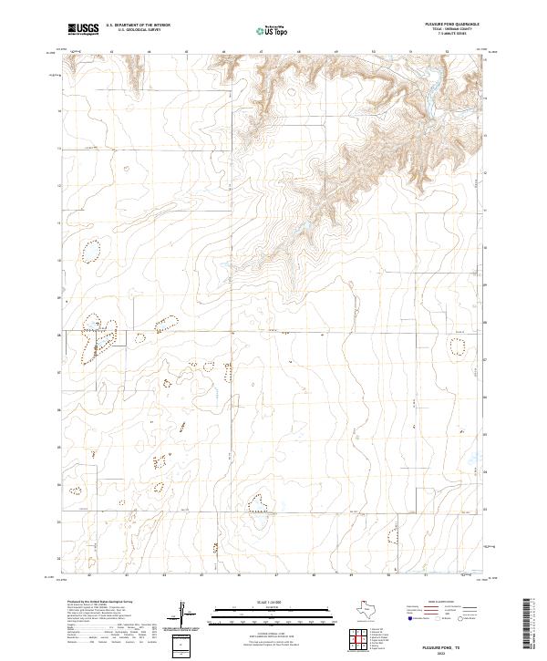
2022 Map of Pleasure Pond
USGS Topo · Published 2022About this map
Sherman County terrain is defined here by the sharp relief of the Coldwater Creek drainage, which cuts through the high plains of the Texas Panhandle. Unlike the flat expanses typical of the region, the northeastern corner of this area features complex contour patterns where Coldwater Cr has carved deep draws and tributary valleys. The land management and transport patterns are strictly grid-based, dominated by the intersection of state-maintained routes like FM 119 and FM 1573 with local ranch roads such as Co RD W and Co RD T. This late-twentieth-century landscape reflects the persistence of large-scale agricultural operations, with scattered stock ponds and intermittent water sources serving as the primary landmarks between the paved thoroughfares.
Find a feature on this map
9 named features on this map. Tap any name to fly to it.
Don’t see what you’re looking for? This feature index may not catch every label — zoom into the map to look around manually.
Map Details
Editions of this 2022 Pleasure Pond Map
This is the sole edition of this map. No revisions or reprints were ever made.
Other maps of this area

1954 · Perryton
USGS Topo · 1:250,000

1958 · Perryton
USGS Topo · 1:250,000

1963 · Cactus East
USGS Topo · 1:24,000

1964 · Stevens SW
USGS Topo · 1:24,000

1965 · Spurlock Chapel
USGS Topo · 1:24,000

1972 · Capps Switch
USGS Topo · 1:24,000

1972 · Sunray
USGS Topo · 1:24,000

1974 · Stevens SE
USGS Topo · 1:24,000

1974 · Sunray 1 SW
USGS Topo · 1:24,000

1974 · Capps Switch NW
USGS Topo · 1:24,000