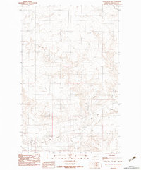
1983 Map of Plentywood SW
USGS Topo · Published 1983About this map
Big Muddy Creek winds through the southern reaches of this Sheridan County landscape, where the prairie is defined by a dense network of watercourses and topographical relief. Based on 1970s field checks and aerial photography, the map documents the hydrologic patterns of the region, including the paths of Plentywood Creek and Harry Creek. The terrain is marked by the presence of an UG Pipeline, signaling the importance of industrial infrastructure in this rural environment. Smaller tributaries like Ford Creek and McCoy Creek contribute to the drainage system of the plains, providing critical landmarks for understanding the historical land use and natural boundaries of this Montana quadrangle during the late twentieth century.
Find a feature on this map
6 named features on this map. Tap any name to fly to it.
Don’t see what you’re looking for? This feature index may not catch every label — zoom into the map to look around manually.
Map Details
Editions of this 1983 Plentywood SW Map
This is the sole edition of this map. No revisions or reprints were ever made.
Other maps of this area

1950 · Shippe Canyon
USGS Topo · 1:24,000

1954 · Wolf Point
USGS Topo · 1:250,000

1958 · Wolf Point
USGS Topo · 1:250,000

1983 · Plentywood NW
USGS Topo · 1:24,000

1983 · Outlook
USGS Topo · 1:24,000

1983 · Kisler Butte
USGS Topo · 1:24,000

1983 · Archer
USGS Topo · 1:24,000

1983 · Plentywood
USGS Topo · 1:24,000

1983 · Raymond
USGS Topo · 1:24,000
1983 · Soo NE
USGS Topo · 1:24,000