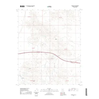
2018 Map of Plomosa Pass
USGS Topo · Published 2018About this map
Plomosa Mountains and the strategic Plomosa Pass define this arid landscape in La Paz County. The settlement of Plomosa sits at the southwestern edge of the sheet, where Mitchell Mine Rd suggests the area's prospecting history. Further north, the curiously named Boxcar provides a lone human waypoint amidst the high desert peaks.
Find a feature on this map
25 named features on this map. Tap any name to fly to it.
Don’t see what you’re looking for? This feature index may not catch every label — zoom into the map to look around manually.
Map Details
Editions of this 2018 Plomosa Pass Map
This is the sole edition of this map. No revisions or reprints were ever made.
Other maps of this area

1930 · Linskey
USGS Topo · 1:62,500

1942 · Blythe
USGS Topo · 1:250,000

1942 · Vicksburg
USGS Topo · 1:250,000

1954 · Salton Sea
USGS Topo · 1:250,000

1954 · Phoenix
USGS Topo · 1:250,000

1955 · Salton Sea
USGS Topo · 1:250,000

1957 · Phoenix
USGS Topo · 1:250,000

1958 · Phoenix
USGS Topo · 1:250,000

1959 · Salton Sea
USGS Topo · 1:250,000

1960 · Phoenix
USGS Topo · 1:250,000