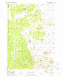
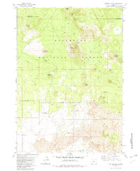
1981 Map of Plot Butte
USGS Topo · Published 1982About this map
Deschutes National Forest occupies this high desert landscape, characterized by volcanic topography and sparse water sources. The map reveals the functional infrastructure of the early 1980s, including the Sand Springs Compensation Station and a nearby heliport. Grounded in the region's geological history, the terrain is marked by distinctive features such as the subterranean Lavacicle Cave and the volcanic prominence of Plot Butte. The land use is defined by a network of 4wd tracks and evidence of local industry, specifically a Cinder Pit located between the buttes.
Find a feature on this map
21 named features on this map. Tap any name to fly to it.
Don’t see what you’re looking for? This feature index may not catch every label — zoom into the map to look around manually.
Map Details
Editions of this 1981 Plot Butte Map
2 editions found
Other maps of this area

1955 · Crescent
USGS Topo · 1:250,000

1957 · Crescent
USGS Topo · 1:250,000

1958 · Crescent
USGS Topo · 1:250,000

1966 · Millican SE
USGS Topo · 1:24,000
1967 · Brothers SW
USGS Topo · 1:24,000
1967 · Pine Mountain
USGS Topo · 1:24,000

1970 · Crescent
USGS Topo · 1:250,000

1981 · Fox Butte
USGS Topo · 1:24,000
1981 · Plot Butte
USGS Topo · 1:24,000
1982 · Sixteen Butte
USGS Topo · 1:24,000