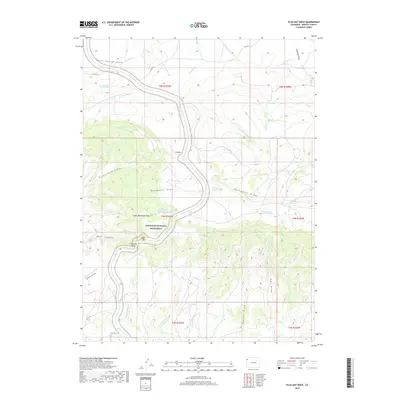
2019 Map of Plug Hat Rock
USGS Topo · Published 2019About this map
Dinosaur National Monument covers the central portion of this landscape, characterized by a complex network of draws and springs. The terrain is defined by dramatic elevation changes between Buckwater Ridge and deeply etched features like Bull Canyon and Richardson Draw. A series of water sources, including Blue Mountain Spring Number 1, Blue Mountain Spring Number 4, and Bearwater Spring, suggest the critical importance of reliable water in this arid environment. The presence of Plug Hat Rock provides a distinct landmark amidst the shifting topography. Movement through the area is dictated by natural drainages such as The Slough and Dripping Rock Cr, which have historically shaped the accessibility of this part of Moffat County.
Find a feature on this map
39 named features on this map. Tap any name to fly to it.
Don’t see what you’re looking for? This feature index may not catch every label — zoom into the map to look around manually.
Map Details
Editions of this 2019 Plug Hat Rock Map
This is the sole edition of this map. No revisions or reprints were ever made.
Other maps of this area

1885 · Ashley
USGS Topo · 1:250,000

1907 · Rangely
USGS Topo · 1:125,000

1907 · Jensen
USGS Topo · 1:125,000

1910 · Jensen
USGS Topo · 1:125,000

1910 · Rangely
USGS Topo · 1:125,000

1954 · Hells Canyon
USGS Topo · 1:24,000

1954 · Vernal
USGS Topo · 1:250,000

1955 · Stuntz Reservoir
USGS Topo · 1:24,000

1958 · Vernal
USGS Topo · 1:250,000

1960 · Vernal
USGS Topo · 1:250,000