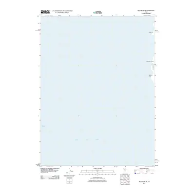
2011 Map of Plug Peak NE
USGS Topo · Published 2011About this map
The waters of the Great Salt Lake dominate this coastal survey, which documents the western shoreline of the Davis County portion of Antelope Island. The map focuses primarily on the maritime environment of the Fremont Strait, a significant passage for navigating the island's perimeter. The topography along the island's edge is marked by specific landmarks such as Cambria Point and Black Bluff, while Red Rocks Canyon provides one of the few named interior drainage features on this stretch of the coast. This 2011 edition, produced from National Hydrography and Elevation Datasets, serves as a record of the island's relationship with the varying water levels of the lake at the turn of the decade.
Find a feature on this map
6 named features on this map. Tap any name to fly to it.
Don’t see what you’re looking for? This feature index may not catch every label — zoom into the map to look around manually.
Map Details
Editions of this 2011 Plug Peak NE Map
This is the sole edition of this map. No revisions or reprints were ever made.
Other maps of this area

1885 · Tooele Valley
USGS Topo · 1:250,000

1952 · Antelope Island South
USGS Topo · 1:24,000

1953 · Tooele
USGS Topo · 1:250,000

1954 · Antelope Island
USGS Topo · 1:24,000

1954 · Antelope Island North
USGS Topo · 1:24,000

1954 · Brigham City
USGS Topo · 1:250,000

1955 · Tooele
USGS Topo · 1:250,000

1958 · Brigham City
USGS Topo · 1:250,000

1962 · Brigham City
USGS Topo · 1:250,000

1968 · Plug Peak SE
USGS Topo · 1:24,000