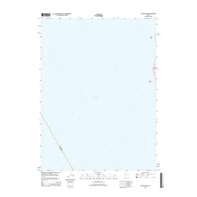
2014 Map of Plug Peak NE
USGS Topo · Published 2014About this map
The Great Salt Lake dominates this 2014 survey, providing a clear view of the water and shoreline along the eastern edge of the quadrangle. This area represents a largely aquatic landscape where the territorial boundaries of Davis Co and Tooele Co intersect within the lakebed. The map captures the subtle transition from the open waters to the elevated terrain of the eastern shoreline. High ground is marked by prominent landmarks such as Black Bluff and Cambria Point, which rise sharply from the water's edge. These features serve as critical navigational markers for anyone studying the western margins of the county or the historical fluctuations of the lake level in the early 21st century.
Find a feature on this map
3 named features on this map. Tap any name to fly to it.
Don’t see what you’re looking for? This feature index may not catch every label — zoom into the map to look around manually.
Map Details
Editions of this 2014 Plug Peak NE Map
This is the sole edition of this map. No revisions or reprints were ever made.
Other maps of this area

1885 · Tooele Valley
USGS Topo · 1:250,000

1952 · Antelope Island South
USGS Topo · 1:24,000

1953 · Tooele
USGS Topo · 1:250,000

1954 · Antelope Island
USGS Topo · 1:24,000

1954 · Antelope Island North
USGS Topo · 1:24,000

1954 · Brigham City
USGS Topo · 1:250,000

1955 · Tooele
USGS Topo · 1:250,000

1958 · Brigham City
USGS Topo · 1:250,000

1962 · Brigham City
USGS Topo · 1:250,000

1968 · Plug Peak SE
USGS Topo · 1:24,000