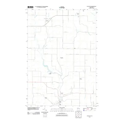
2010 Map of Plum City
USGS Topo · Published 2010About this map
Plum City serves as the primary hub of this Pierce and Dunn County landscape, where the waters of Plum Creek are managed by several structures including the Plum Creek 2 E4499 Dam and Plum Creek 3 E4499 Dam. The drainage patterns here are deeply incised into the terrain, forming distinctive features such as Wildcat Coulee and Rush Coulee. To the north, the settlement of Rock Elm sits near the headwaters of Rock Elm Creek, while Exile marks a crossroads further east.
Find a feature on this map
56 named features on this map. Tap any name to fly to it.
Don’t see what you’re looking for? This feature index may not catch every label — zoom into the map to look around manually.
Map Details
Editions of this 2010 Plum City Map
This is the sole edition of this map. No revisions or reprints were ever made.
Other maps of this area

1935 · Arkansaw
USGS Topo · 1:48,000

1940 · Maiden Rock
USGS Topo · 1:62,500

1941 · Arkansaw
USGS Topo · 1:62,500

1942 · Arkansaw
USGS Topo · 1:62,500

1946 · Knapp
USGS Topo · 1:62,500

1949 · Knapp
USGS Topo · 1:62,500

1949 · Baldwin
USGS Topo · 1:62,500

1950 · Maiden Rock
USGS Topo · 1:62,500

1953 · Saint Paul
USGS Topo · 1:250,000

1959 · Saint Paul
USGS Topo · 1:250,000