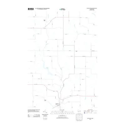
2013 Map of Plum City
USGS Topo · Published 2013About this map
Plum City serves as a primary hub in this southwestern Wisconsin landscape, where the local road network converges near the banks of Plum Cr. The area is characterized by several small rural settlements and geographically distinct features, including the unincorporated communities of Rock Elm to the north and Exile to the east. These hamlets are linked by a grid of numbered avenues and streets that traverse the terrain between drainage basins. To the west of the main settlement, Wildcat Coulee and the waters of Nugget Lake 18 suggest a landscape shaped by narrow valleys and local impoundments. The map also traces the headwaters of numerous small streams, such as Arkansaw Cr, Missouri Cr, and Porcupine Cr, which carve through the farmland. These watercourses and local landmarks like Farm Hill reflect the traditional agricultural and topographic character of Pierce and Pepin counties.
Find a feature on this map
55 named features on this map. Tap any name to fly to it.
Don’t see what you’re looking for? This feature index may not catch every label — zoom into the map to look around manually.
Map Details
Editions of this 2013 Plum City Map
This is the sole edition of this map. No revisions or reprints were ever made.
Other maps of this area

1935 · Arkansaw
USGS Topo · 1:48,000

1940 · Maiden Rock
USGS Topo · 1:62,500

1941 · Arkansaw
USGS Topo · 1:62,500

1942 · Arkansaw
USGS Topo · 1:62,500

1946 · Knapp
USGS Topo · 1:62,500

1949 · Knapp
USGS Topo · 1:62,500

1949 · Baldwin
USGS Topo · 1:62,500

1950 · Maiden Rock
USGS Topo · 1:62,500

1953 · Saint Paul
USGS Topo · 1:250,000

1959 · Saint Paul
USGS Topo · 1:250,000