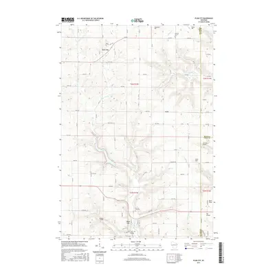
2015 Map of Plum City
USGS Topo · Published 2015About this map
Plum City serves as the primary hub in this corner of Western Wisconsin, situated at the junction of several rural routes and the winding Plum Cr. The landscape is defined by a series of deep coulees and ridges, including Joe Gray Coulee and Wildcat Coulee, which dictate the placement of local roads and farmsteads. To the north, the small settlements of Rock Elm and Exile remain connected by a network of county roads like Co RD S and Co RD PP.
Find a feature on this map
58 named features on this map. Tap any name to fly to it.
Don’t see what you’re looking for? This feature index may not catch every label — zoom into the map to look around manually.
Map Details
Editions of this 2015 Plum City Map
This is the sole edition of this map. No revisions or reprints were ever made.
Other maps of this area

1935 · Arkansaw
USGS Topo · 1:48,000

1940 · Maiden Rock
USGS Topo · 1:62,500

1941 · Arkansaw
USGS Topo · 1:62,500

1942 · Arkansaw
USGS Topo · 1:62,500

1946 · Knapp
USGS Topo · 1:62,500

1949 · Knapp
USGS Topo · 1:62,500

1949 · Baldwin
USGS Topo · 1:62,500

1950 · Maiden Rock
USGS Topo · 1:62,500

1953 · Saint Paul
USGS Topo · 1:250,000

1959 · Saint Paul
USGS Topo · 1:250,000