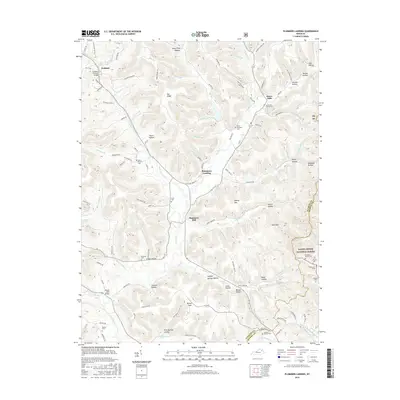
2016 Map of Plummers Landing
USGS Topo · Published 2016About this map
The Goddard Covered Bridge stands as a focal point in this portion of Fleming County, where the rural landscape is defined by the winding course of Fox Creek and its many tributaries. This 2016 survey highlights a network of small, scattered communities like Plummers Landing, Muses Mills, and Ringos Mills that have long anchored the local agricultural economy. The terrain transitions from the broader flats of Maxey Flats in the south toward the more dissected ridges and hollows such as Hurst Hollow and Jackson Hollow in the north and east.
Find a feature on this map
114 named features on this map. Tap any name to fly to it.
Don’t see what you’re looking for? This feature index may not catch every label — zoom into the map to look around manually.
Map Details
Editions of this 2016 Plummers Landing Map
This is the sole edition of this map. No revisions or reprints were ever made.
Other maps of this area

1929 · Morehead
USGS Topo · 1:48,000

1929 · Salt Lick
USGS Topo · 1:62,500

1934 · Salt Lick
USGS Topo · 1:62,500

1935 · Morehead
USGS Topo · 1:62,500

1951 · Cranston
USGS Topo · 1:24,000

1951 · Hillsboro
USGS Topo · 1:24,000

1951 · Stricklett
USGS Topo · 1:24,000

1951 · Plummers Landing
USGS Topo · 1:24,000

1951 · Burtonville
USGS Topo · 1:24,000

1951 · Flemingsburg
USGS Topo · 1:24,000