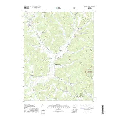
2019 Map of Plummers Landing
USGS Topo · Published 2019About this map
Goddard Covered Bridge stands as a focal point in the northwest corner of this Fleming County landscape, where the settlement of Goddard meets the winding waters of Sand Lick Creek. The terrain is defined by a series of narrow hollows and high ridges like Pea Ridge and Sand Mtn, creating a topography that historically dictated the placement of small communities and family cemeteries. In the eastern portion, the Daniel Boone National Forest blankets the hills near the Rowan County line, preserving the wooded character of the region.
Find a feature on this map
119 named features on this map. Tap any name to fly to it.
Don’t see what you’re looking for? This feature index may not catch every label — zoom into the map to look around manually.
Map Details
Editions of this 2019 Plummers Landing Map
This is the sole edition of this map. No revisions or reprints were ever made.
Other maps of this area

1929 · Morehead
USGS Topo · 1:48,000

1929 · Salt Lick
USGS Topo · 1:62,500

1934 · Salt Lick
USGS Topo · 1:62,500

1935 · Morehead
USGS Topo · 1:62,500

1951 · Cranston
USGS Topo · 1:24,000

1951 · Hillsboro
USGS Topo · 1:24,000

1951 · Stricklett
USGS Topo · 1:24,000

1951 · Plummers Landing
USGS Topo · 1:24,000

1951 · Burtonville
USGS Topo · 1:24,000

1951 · Flemingsburg
USGS Topo · 1:24,000