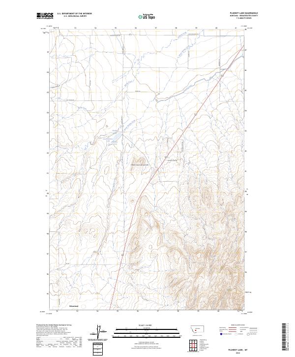
2024 Map of Plunket Lake
USGS Topo · Published 2024About this map
Wheatland lies at the southwestern edge of this Broadwater County landscape, where the open terrain transitions from the irrigated flats along the Toston Canal to the rising slopes of Chewh-toowh-too-peh Hill. Water defines the local geography, with the distinct Plunket Lake and the nearby Mammoth Springs serving as central landmarks. These features, along with the meandering paths of Spring Creek and Warm Springs Creek, highlight a region where water management and natural springs have historically dictated land use and settlement.
Find a feature on this map
23 named features on this map. Tap any name to fly to it.
Don’t see what you’re looking for? This feature index may not catch every label — zoom into the map to look around manually.
Map Details
Editions of this 2024 Plunket Lake Map
This is the sole edition of this map. No revisions or reprints were ever made.
Other maps of this area

1886 · Fort Logan
USGS Topo · 1:250,000

1888 · Three Forks
USGS Topo · 1:250,000

1894 · Three Forks
USGS Topo · 1:250,000

1895 · Three Forks
USGS Topo · 1:250,000

1947 · Bozeman
USGS Topo · 1:250,000

1948 · Bozeman
USGS Topo · 1:250,000

1948 · White Sulphur Springs
USGS Topo · 1:250,000

1949 · Radersburg
USGS Topo · 1:62,500

1949 · Manhattan
USGS Topo · 1:62,500

1949 · Toston
USGS Topo · 1:62,500