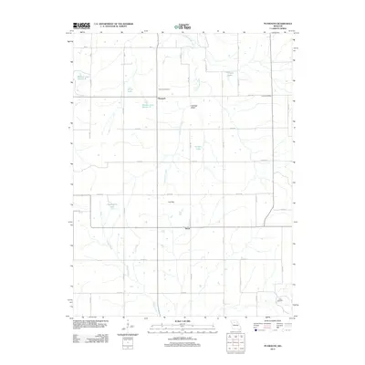
2012 Map of Plymouth
USGS Topo · Published 2012About this map
The settlement of Plymouth and its surrounding agricultural landscape in Carroll County define this early 21st-century survey. The terrain is structured by a network of drainage and local landmarks, including Cottonwood Creek and Turkey Creek, which weave through the drainage basins of Low Gap Valley and Low Gap. This map reveals a specific rural pattern of life, where small, family-named or section-specific water bodies like Ulrich Lake, McLaughlin Lake, and Wallace Lake Section 6 appear alongside long-standing community markers. Genealogists and local historians can pinpoint specific burial grounds such as Plymouth Cemetery and Harris Cemetery, as well as the location of the Latoh Post Office and the small settlement of Quote, providing a precise record of the area's development before further modernization.
Find a feature on this map
36 named features on this map. Tap any name to fly to it.
Don’t see what you’re looking for? This feature index may not catch every label — zoom into the map to look around manually.
Map Details
Editions of this 2012 Plymouth Map
This is the sole edition of this map. No revisions or reprints were ever made.
Other maps of this area

1889 · Lexington
USGS Topo · 1:125,000

1924 · Dawn
USGS Topo · 1:62,500

1924 · Braymer
USGS Topo · 1:62,500

1950 · Coloma
USGS Topo · 1:24,000

1950 · Plymouth
USGS Topo · 1:24,000

1951 · Utica
USGS Topo · 1:62,500

1953 · Moberly
USGS Topo · 1:250,000

1954 · Moberly
USGS Topo · 1:250,000

1957 · Moberly
USGS Topo · 1:250,000
1957 · Roads
USGS Topo · 1:24,000