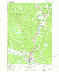
1980 Map of Plymouth
USGS Topo · Published 1981About this map
Plymouth serves as the focal point of this Grafton County landscape, situated at the confluence of the Pemigewasset River and the Baker River. The 1980s infrastructure is clearly visible, with a series of interchanges along the river valley connecting historic centers like West Campton and Campton Lower Village. Education and civic life are prominent through the campus of the Holderness Sch and various local landmarks such as the Townhall Campton Ch and the Fairgrounds near the Baker River bend.
Find a feature on this map
64 named features on this map. Tap any name to fly to it.
Don’t see what you’re looking for? This feature index may not catch every label — zoom into the map to look around manually.
Map Details
Editions of this 1980 Plymouth Map
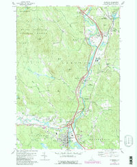
2 editions found
Other maps of this area

1925 · Holderness
USGS Topo · 1:62,500

1927 · Holderness
USGS Topo · 1:62,500

1927 · Cardigan
USGS Topo · 1:62,500

1928 · Plymouth
USGS Topo · 1:62,500

1928 · Rumney
USGS Topo · 1:62,500

1930 · Cardigan
USGS Topo · 1:62,500

1931 · Plymouth
USGS Topo · 1:62,500

1932 · Rumney
USGS Topo · 1:62,500

1949 · Portland
USGS Topo · 1:250,000

1956 · Cardigan
USGS Topo · 1:62,500