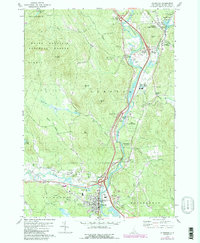
1980 Map of Plymouth
USGS Topo · Published 1989About this map
The Pemigewasset River valley serves as the central corridor for transport and industry in this New Hampshire survey, where the Boston and Maine Railroad parallels the water through the heart of Plymouth. The map documents a diverse mix of educational and recreational development, from the Holderness Sch and its Athletic Field to the Fairgrounds and local Golf Course. Settlement patterns follow the river's path, clustering at Campton Upper Village and Campton Lower Village, while the higher elevations of the White Mountain National Forest and Beech Hill frame the western valley. Historical infrastructure is well-preserved, including multiple instances of a Covered Br and the Trinity Ch. The presence of several Gravel Pit sites and a Quarry near Campton Hollow highlights the local extractive industries that operated alongside the region's burgeoning timber and tourism sectors in the late twentieth century.
Find a feature on this map
66 named features on this map. Tap any name to fly to it.
Don’t see what you’re looking for? This feature index may not catch every label — zoom into the map to look around manually.
Map Details
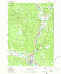
Editions of this 1980 Plymouth Map
2 editions found
Other maps of this area

1925 · Holderness
USGS Topo · 1:62,500

1927 · Holderness
USGS Topo · 1:62,500

1927 · Cardigan
USGS Topo · 1:62,500

1928 · Plymouth
USGS Topo · 1:62,500

1928 · Rumney
USGS Topo · 1:62,500

1930 · Cardigan
USGS Topo · 1:62,500

1931 · Plymouth
USGS Topo · 1:62,500

1932 · Rumney
USGS Topo · 1:62,500

1949 · Portland
USGS Topo · 1:250,000

1956 · Cardigan
USGS Topo · 1:62,500