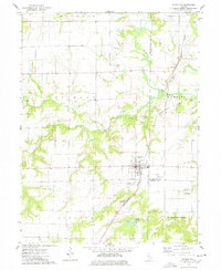
1974 Map of Plymouth
USGS Topo · Published 1978About this map
The Colmar - Plymouth Oil Field defines much of the economic character of this landscape in the mid-1970s, with oil wells and several quarries scattered across the rural townships. The village of Plymouth serves as a central hub, situated near the intersection of the Burlington Northern railroad and several local creeks. This area is a point of significant geographic intersection, where Hancock, McDonough, and Schuyler counties all meet.
Find a feature on this map
31 named features on this map. Tap any name to fly to it.
Don’t see what you’re looking for? This feature index may not catch every label — zoom into the map to look around manually.
Map Details
Editions of this 1974 Plymouth Map
This is the sole edition of this map. No revisions or reprints were ever made.
Other maps of this area

1913 · Colchester
USGS Topo · 1:62,500

1933 · Carthage
USGS Topo · 1:62,500

1937 · Carthage
USGS Topo · 1:62,500

1946 · Augusta
USGS Topo · 1:62,500

1948 · Camp Point
USGS Topo · 1:62,500

1949 · Augusta
USGS Topo · 1:62,500

1958 · Burlington
USGS Topo · 1:250,000

1961 · Burlington
USGS Topo · 1:250,000

1963 · Burlington
USGS Topo · 1:250,000
1974 · Bentley
USGS Topo · 1:24,000